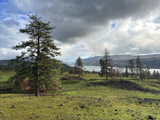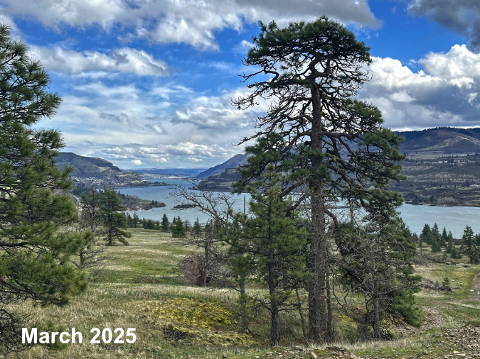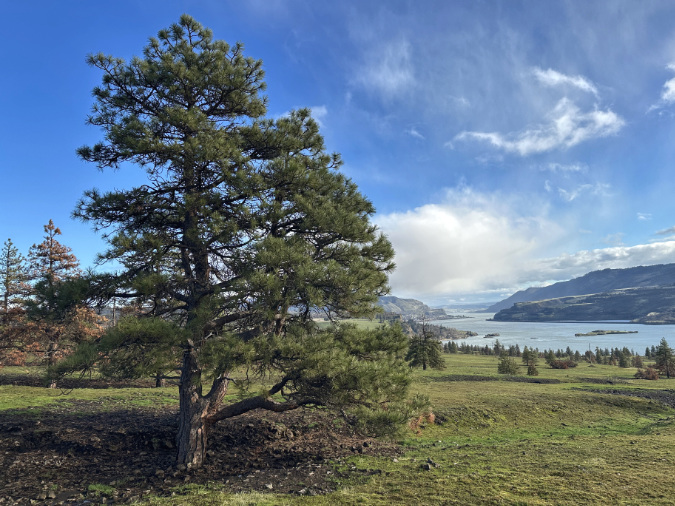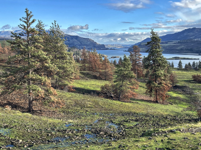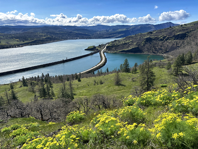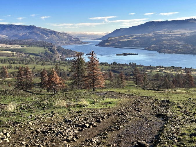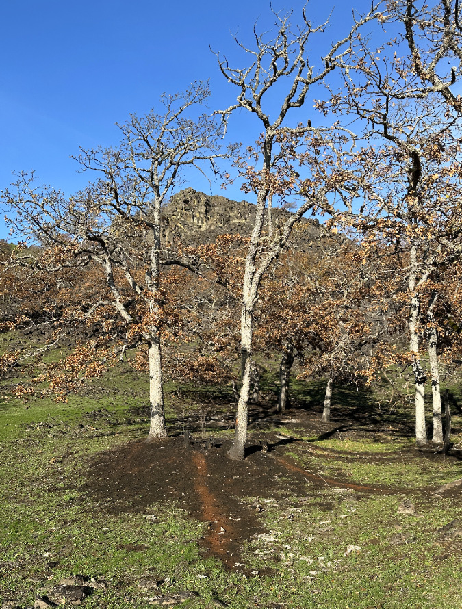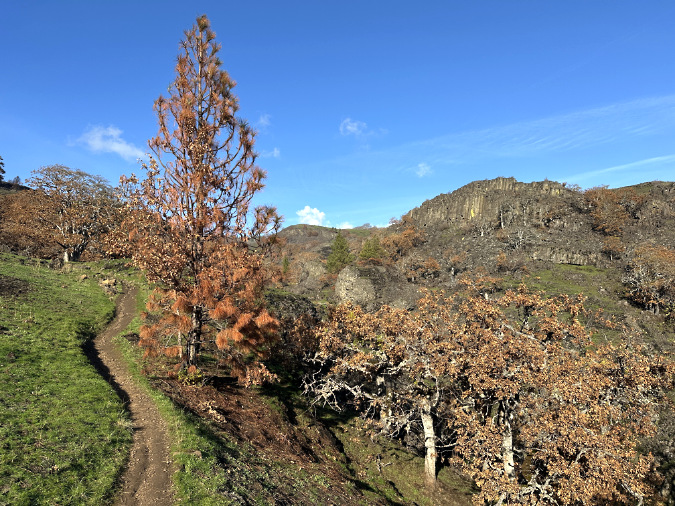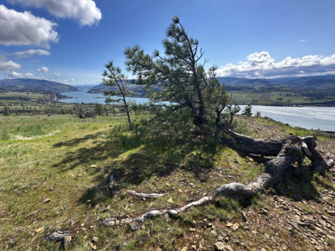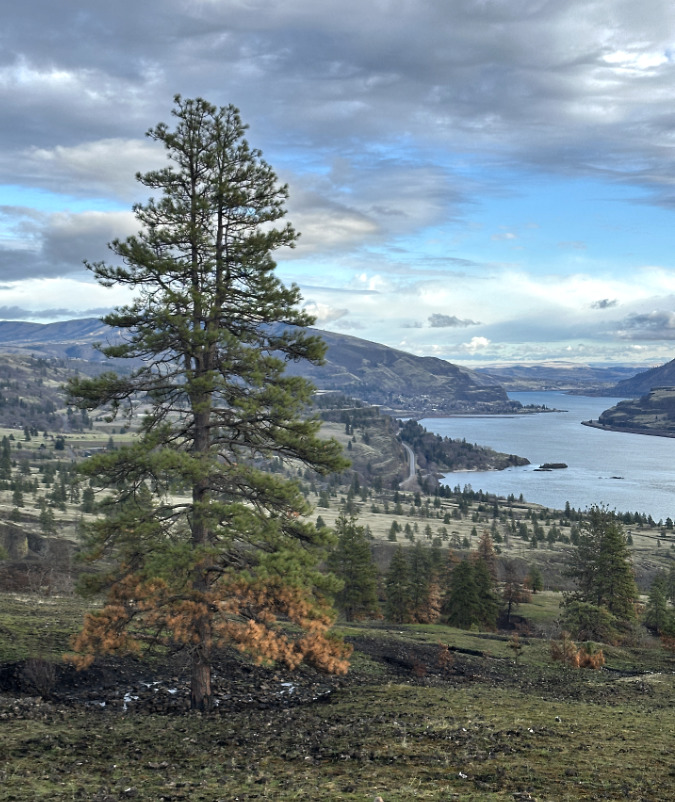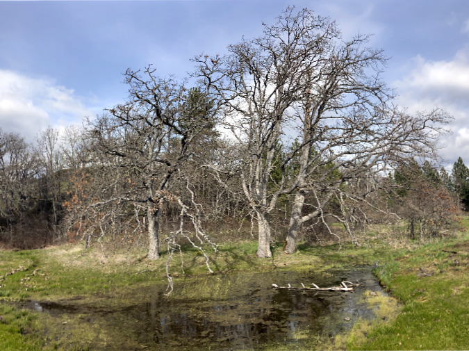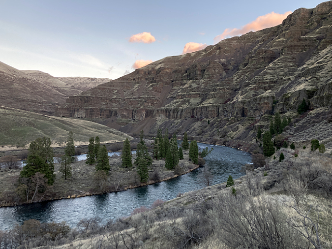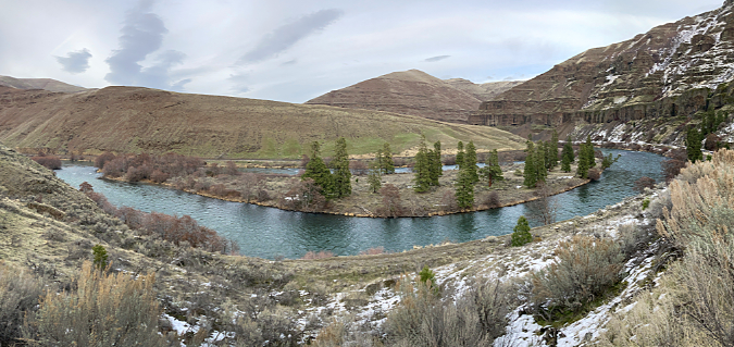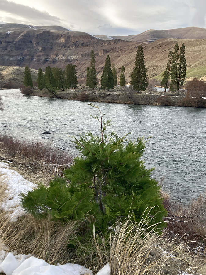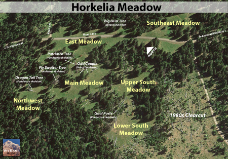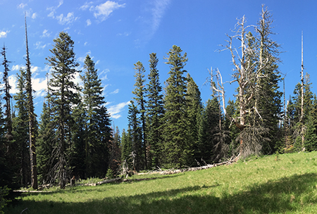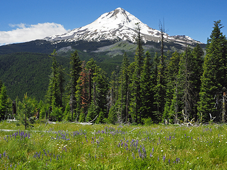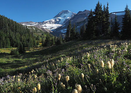
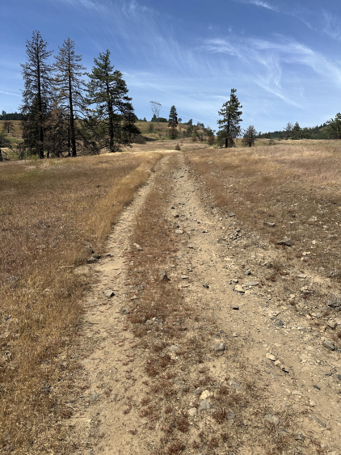
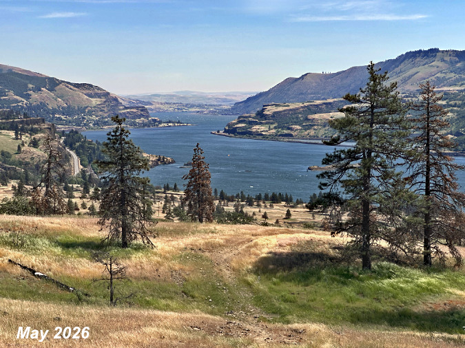
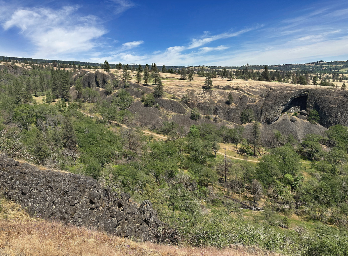
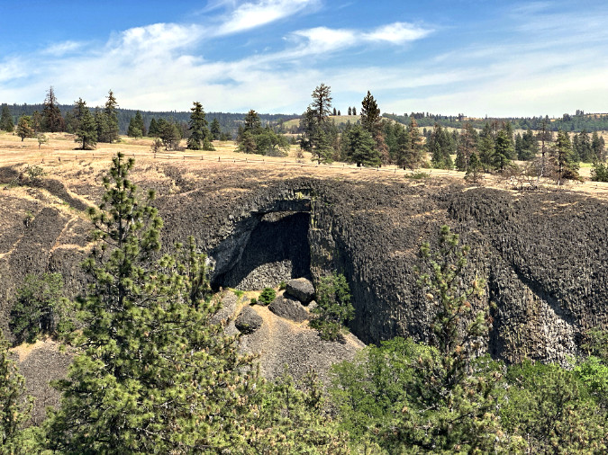
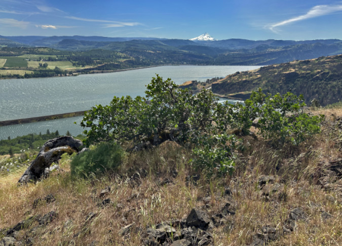
The Catherine Creek savannah already turning to summer hues in early May of this year
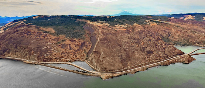
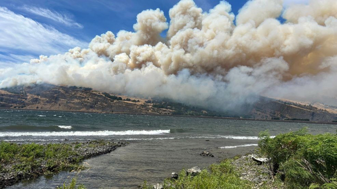
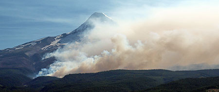
As a follow-up to the previous three-part series on the aftermath of the Burdoin Fire (links to all recent articles on the fires at Catherine Creek are at the bottom of this article), I stopped by West Catherine Creek in early May to check on the recovery, just ten months after the fire swept through last July. The fire burned especially hot here, and less than a year after the 2024 Top of the World Fire had roared through. Things looks especially bleak for the keystone Oregon white oak and Ponderosa pine when I last visited in December.
Here’s the good news: given the back-to-back pummeling this area has endured, the resilience on display on this visit is both surprising and inspiring. Yes, there’s likely a long, hot summer ahead for the survivors, but what I saw last month bodes well for the larger recovery of the larger Catherine Creek savannah. Read on for a deeper dive!
The Bulldozer Road
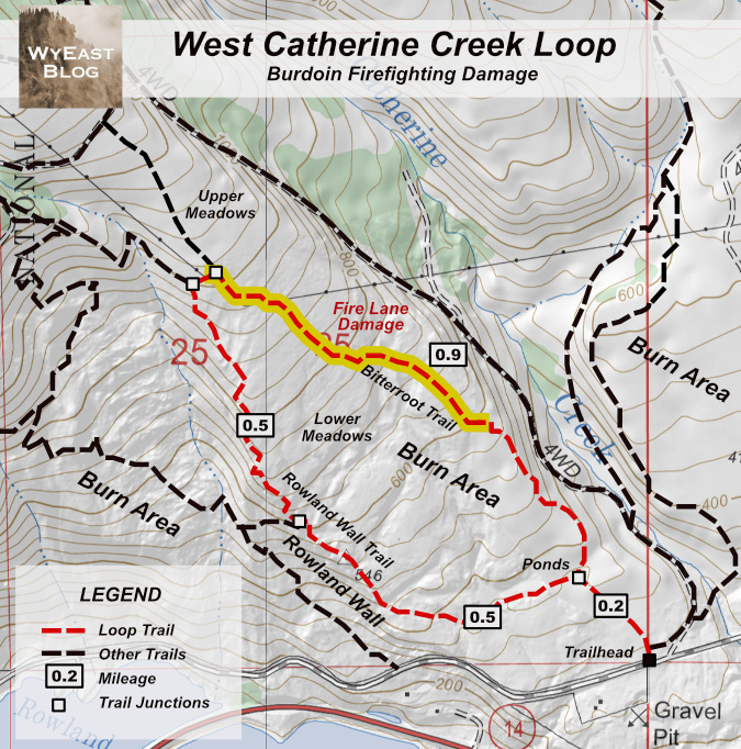
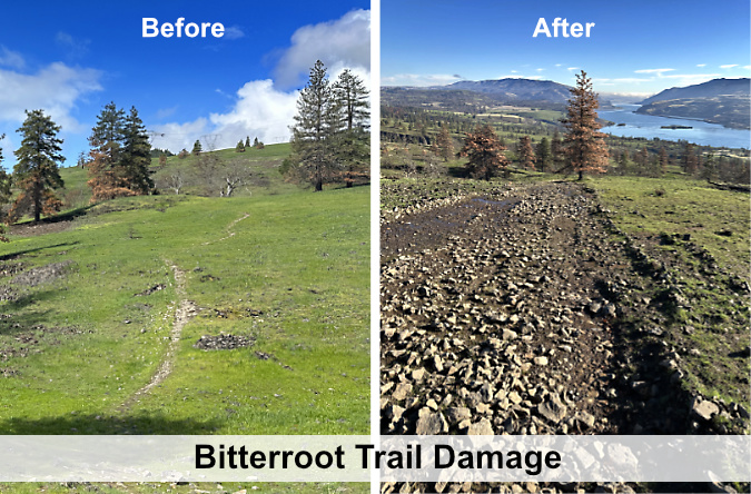
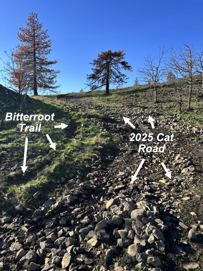
In this earlier article I lamented a new fire lane that had bulldozed the upper portion of the Bitterroot Trail, destroying one of the better informal paths in the Gorge and worsening erosion of already fragile savannah soils in the aftermath of the fire. After posting the previous article, I also learned that the rough state of the fire lane on my last visit was, in fact, the “restored” surface, with no Forest Service plans to further mitigate the impacts.
The good news: I’ve since learned that the general routing of the fire lane was made on the fly, literally in the heat of the Burdoin Fire event. It was not an intentional effort to erase the Bitterroot Trail. Still more encouraging, there’s a real possibility the Forest Service might someday recognize this popular trail as part of the formal system, thus opening the door to non-profits partnering with the agency to retore the tread and improve it to sustainable design standards.
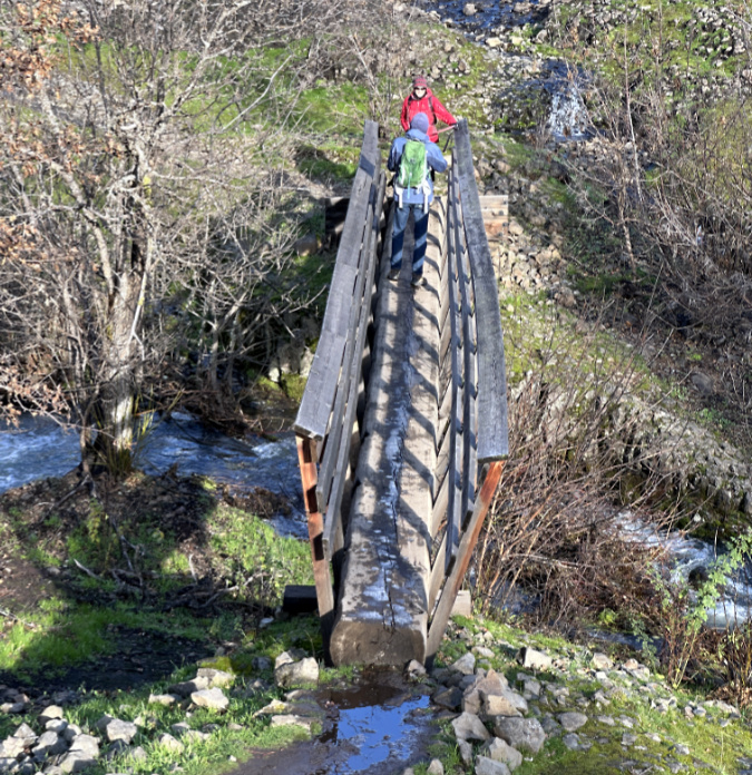
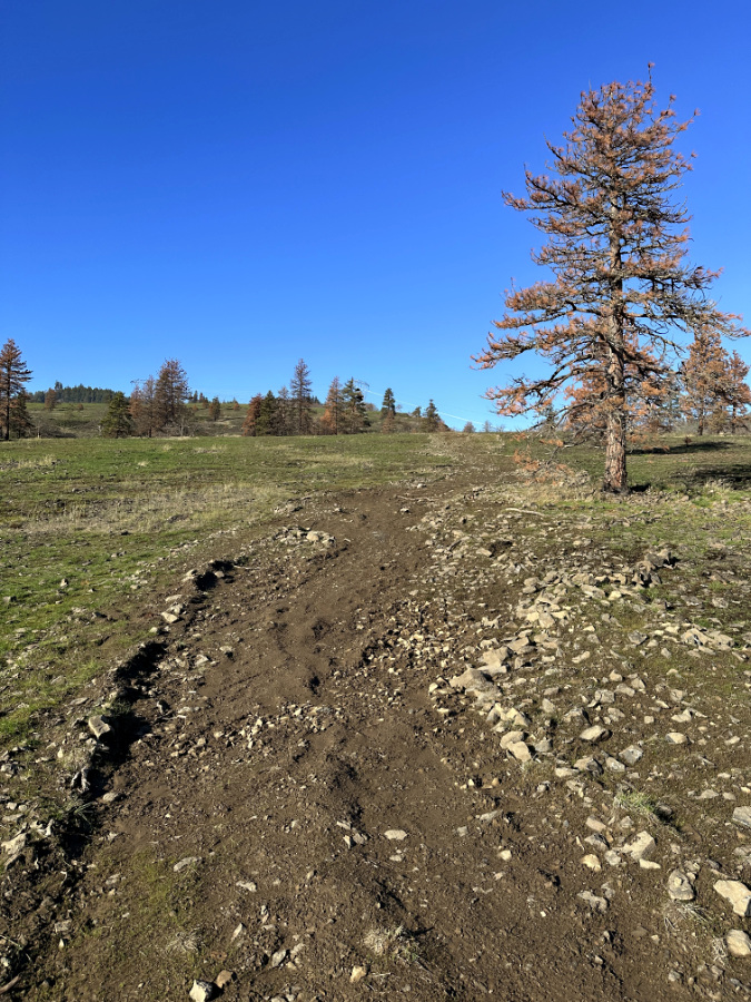
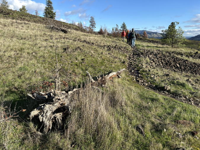
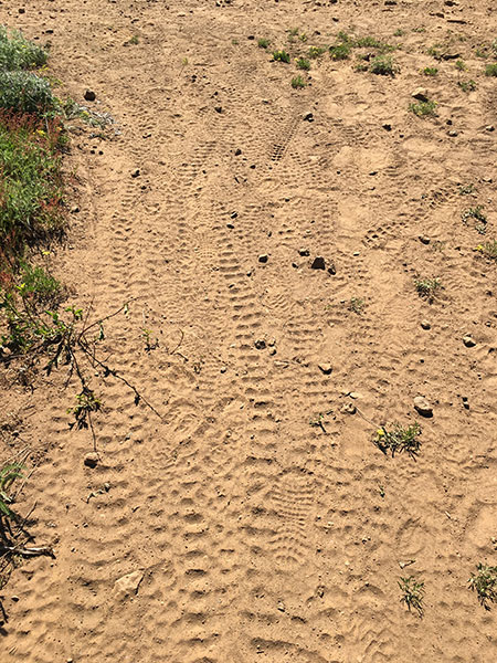
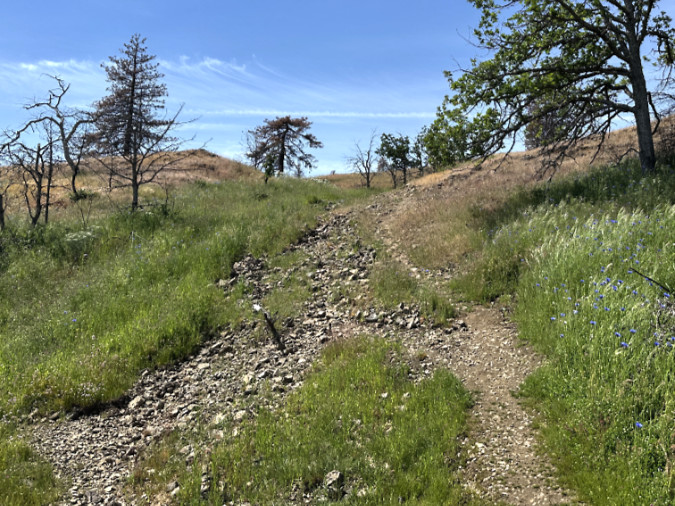
Hikers have already begun to redefine a single path through the bulldozed fire lane that used to be the upper Bitterroot trail
In the meantime, I was reminded on my most recent visit to never underestimate the power of hikers who love their trails. In the five months since my winter visit, hikers had clearly voted with their feet (and boots) on their preferred option among the two ruts left by the bulldozers, thereby beginning an informal restoration of the Bitterroot Trail.
In most cases, the less popular ruts have already begun to grow over with savannah grasses, and even a few wildflowers. In some of these sections the less-favored ruts have been rejected because of deep erosion leaving them a cobbly, ankle-twisting mess. Messy as they are, these scars, too, will stabilize over time with the recovery of the meadow ecosystem.
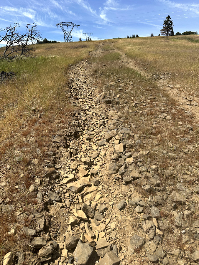
In this section of the fire lane the verdict is split, though on most of the route hikers are picking the uphill (left) track
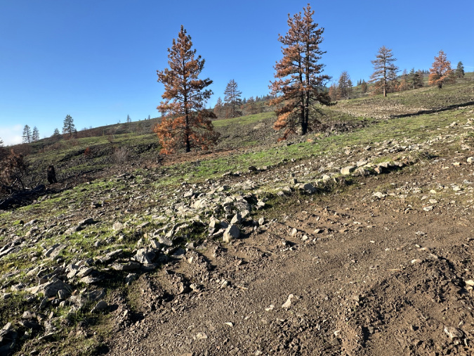
This spot on the old Bitterroot trail was always messy, and the bulldozers made it much worse. Ironically, that was the impetus for hikers to completely circumvent the rocky old route with this surprisingly well-placed path, uphill from the old route
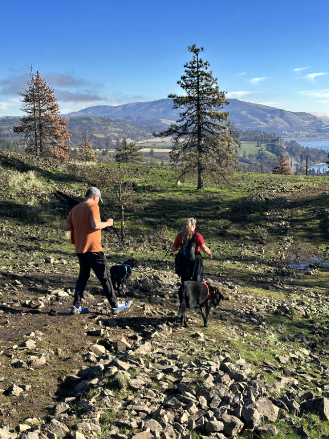
There are still a few spots where a preferred hiker path has yet to emerge, mostly near the upper end of the trail, where the fire lane is quite wide. However, it was also clear that I wasn’t the only hiker kicking rocks off the emerging, hiker-defined tread in an effort to help the Bitterroot Trail once again offer the experience it provided before the Burdoin Fire.
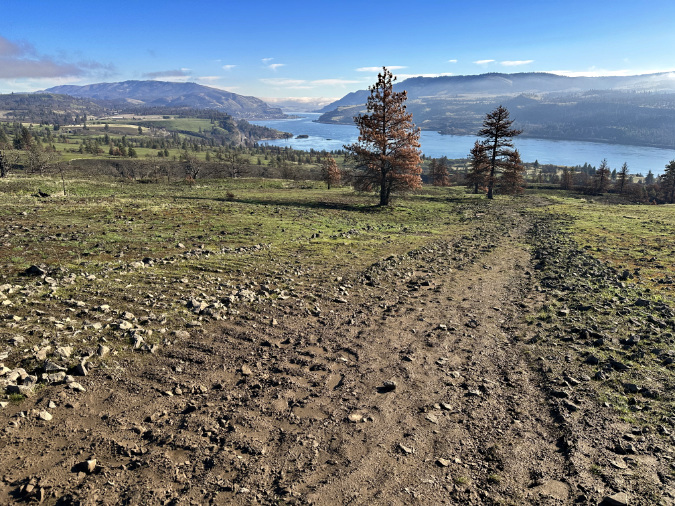
At the upper end of the old Bitterroot Trail the erosion from uncontrolled runoff in the lower track is discouraging, but it has also pushed hikers onto the upper track (on the right), redefining the trail here. Over time, returning savannah grasses and wildflowers should eventually stabilize the eroded track on the left
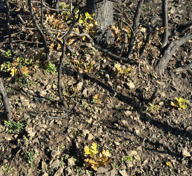
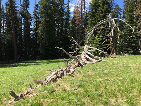
Then-and-now photos (below) of a spot featured in previous articles on West Catherine Creek show meadow grasses quickly moving into what was a bulldozed mess at this scenic spot along the Bitterroot Trail. It will take more time to completely heal, but it’s encouraging to see the recovery taking hold so quickly, in just the first spring since the fire.
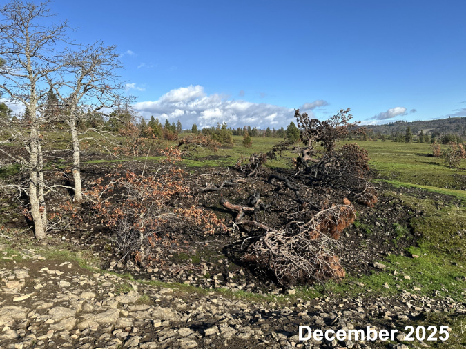
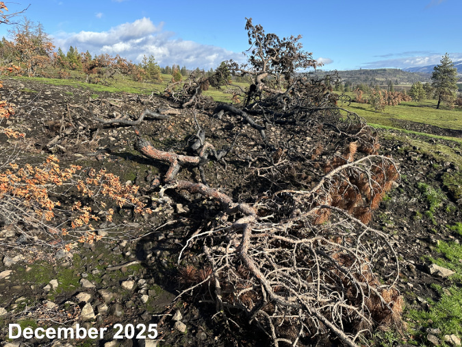
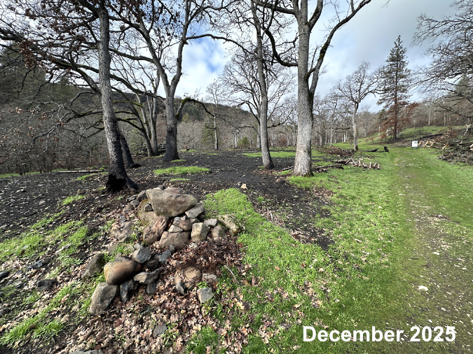
The impact of the bulldozer on the burned landscape was bleak when these hikers struggled through last December…
…but spring rains have begun to heal the scars and hikers have begun to restore the footpath with the power of hundreds of determined hiking boots
The Savannah Wildflowers
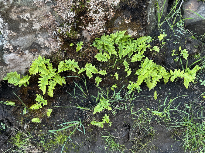
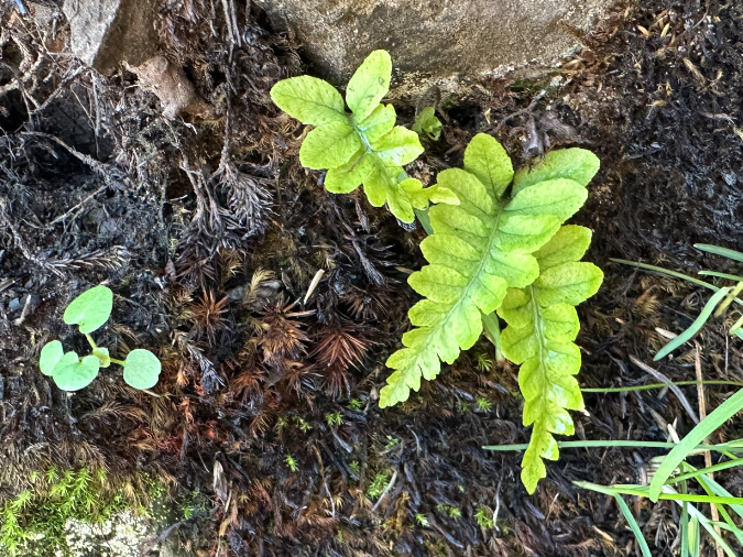
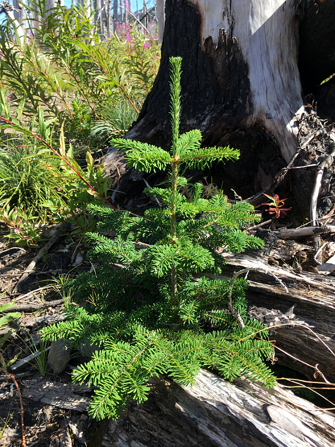
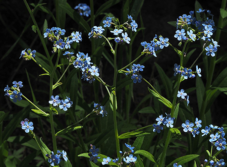
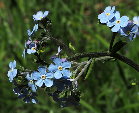
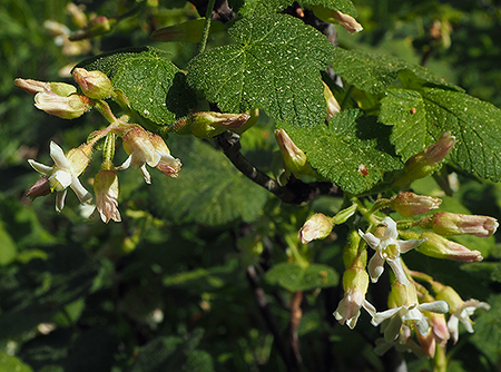
Wildflowers have surged back to live across the West Catherine Creek savannah in this first spring since the fire. Species that grow from bulbs or rhizomes were especially well-prepared to survive the burn, and seemed mostly unaffected, though wildflowers with less underground reserve are also bouncing back.
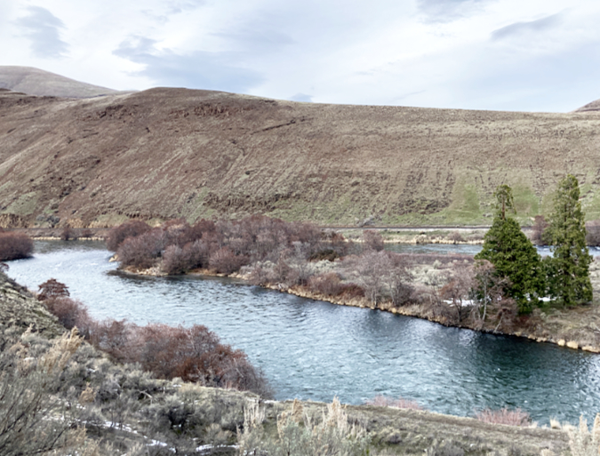
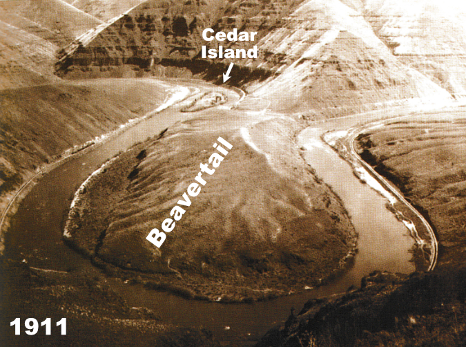
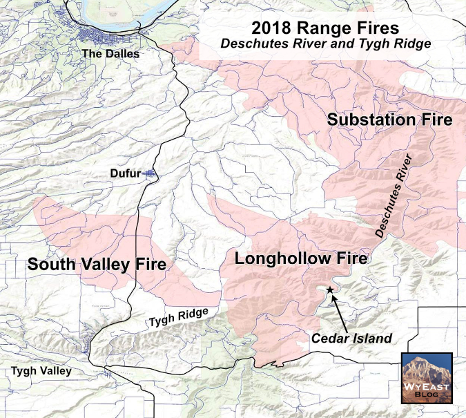
While the speed of the wildflower recovery is welcome, it shouldn’t be completely surprising, even with back-to-back fires. Most of these species are not only built for fire, but rely upon it to thrive. This relationship has been on full display after other recent fires in the East Gorge, most notably the massive Substation Fire that burned 80,000 acres along the lower Deschutes River canyon in 2018. There, the ecosystem rebound has been explosive, and provides a helpful preview of what to expect in the years ahead for the Burdoin Fire – provided the area is given time to fully recover.
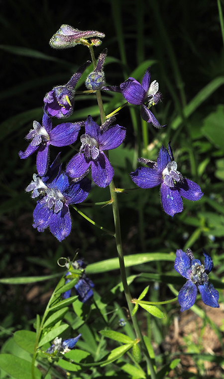
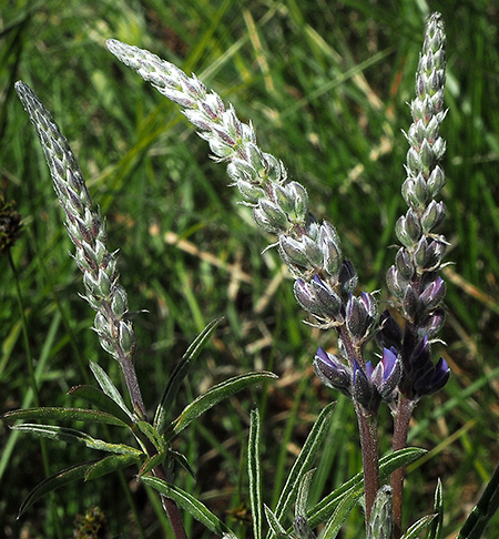
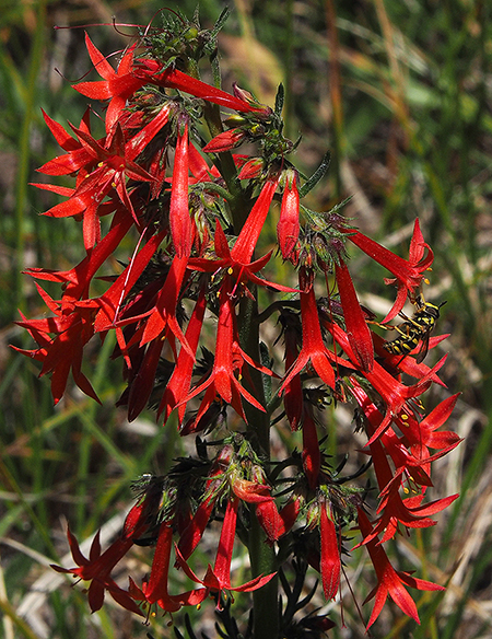
Who are the stars of the wildflower recovery? The following is a sampler of the most prolific of the late season wildflowers rebounding at the heart of the burn scar….
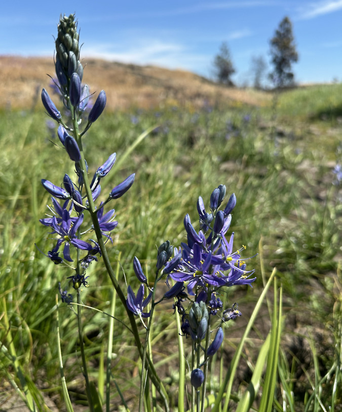
Camas is thriving at the ponds, notable because they are vernal ponds, and had gone dry for the summer at the time of the Burdoin Fire, leaving the soil here exposed to the full brunt of the fire
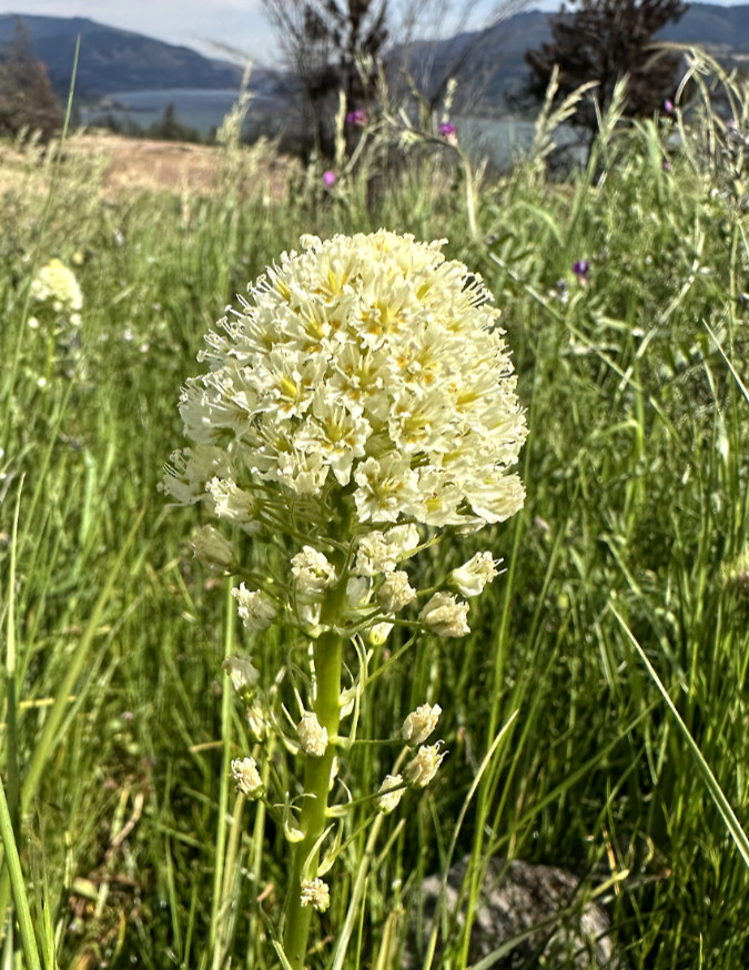
Death Camas is also at the ponds, like its less deadly cousin
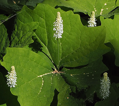
Wild Onion is thriving along the west Catherine Creek Rim, thanks to its tiny onion bulbs that were protected from the fire by several inches of soil
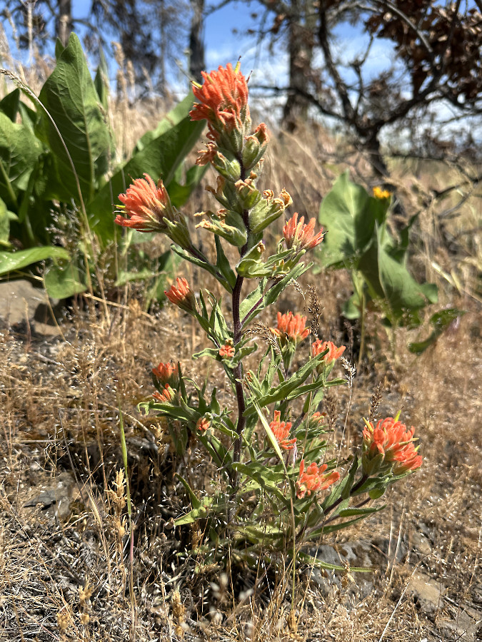
Paintbrush (and Balsamroot, beyond) are thriving above Rowland Wall, but mostly along the cooler margins of the burn. They will be important to reseeding nearby, more severely burned areas
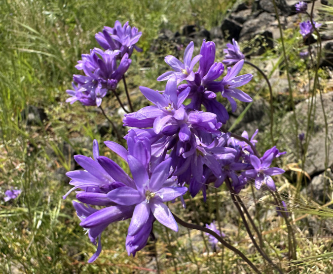
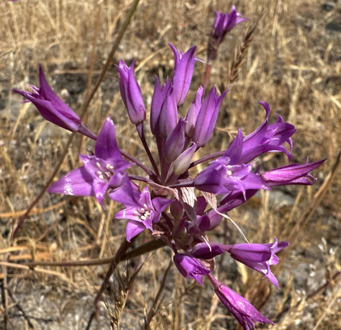
Ookow dotted the savannah, but are most prolific along the west Catherine Creek Rim where the fire was somewhat less intense
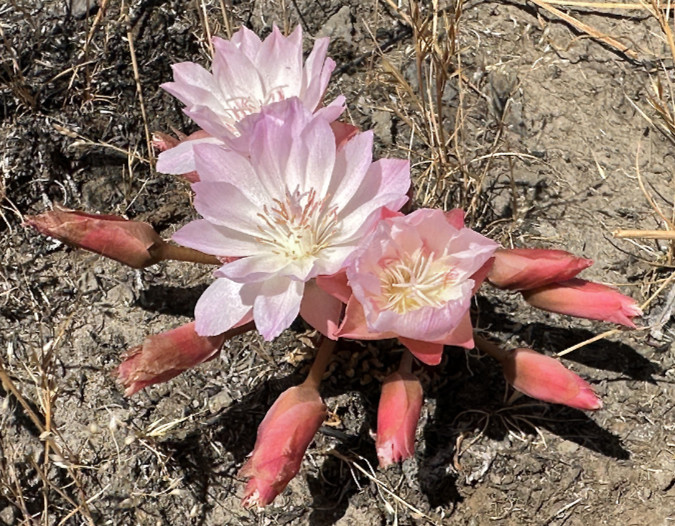
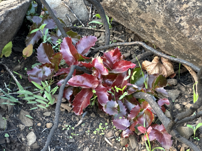
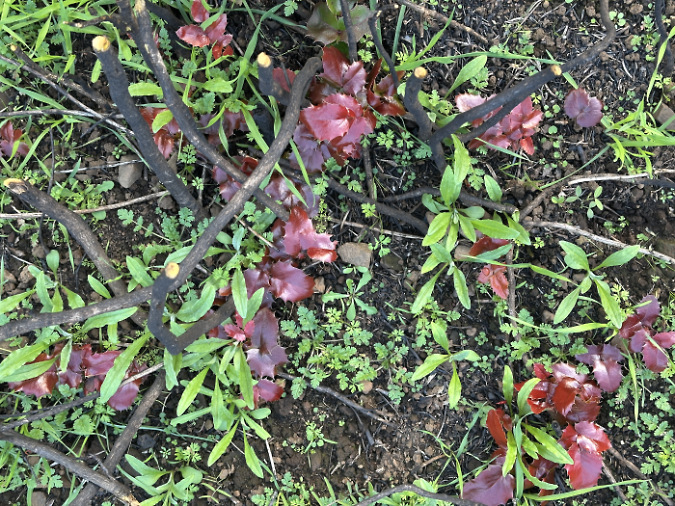
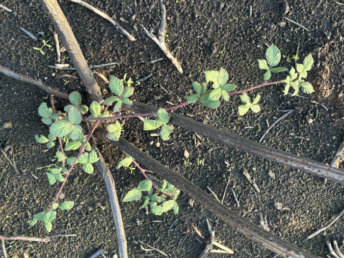
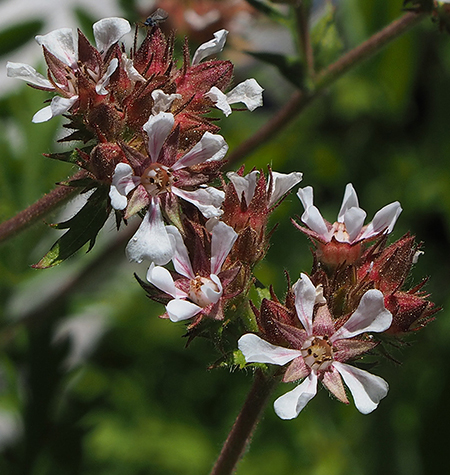
Bitterroot is thriving along the west Catherine Creek Rim and the exposed areas of the Rowland Wall. These unique plants are known for their disappearing act in summer, and had already shed their blooms and foliage before the Burdoin Fire last July. Their tough taproots and brief growth cycle in late winter through spring make these iconic wildflowers especially adapted to fire
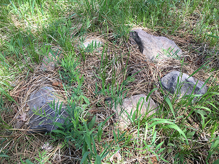
If the resiliency of spring wildflowers weren’t enough to inspire optimism, I came across this unexpected resident (below) high in the savannah meadows, along the upper section of the Bitterroot trail. Not much larger than a nickel, this treefrog was sheltering in the shade of a tuft of meadow grass.

…and an unexpected treefrog high in the savannah meadows!
Though it’s surprising that they can thrive in the desert country east of the Cascades, treefrogs adapt by sheltering in burrows in the heat of summer. This likely helped some of these creatures survive the fire last year, living on to produce another generation of offspring this year.
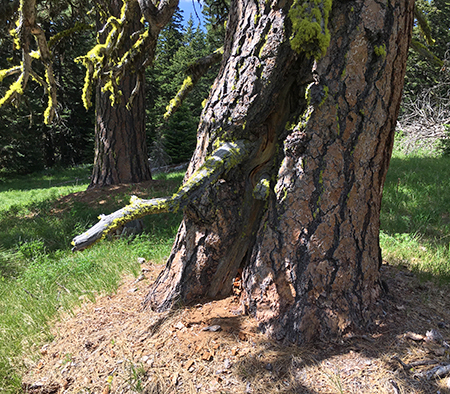
Oak and Ponderosa Survivors
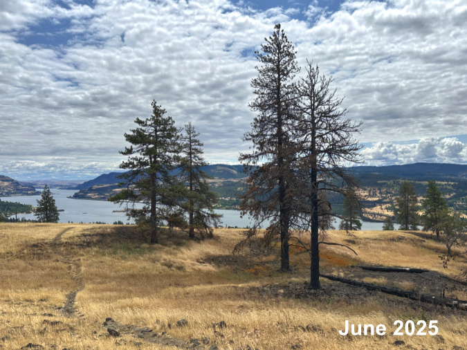
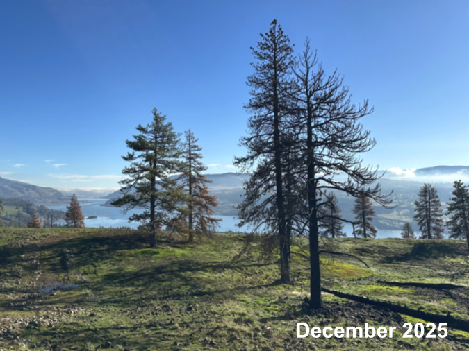
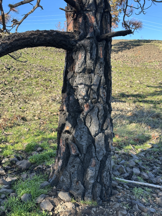
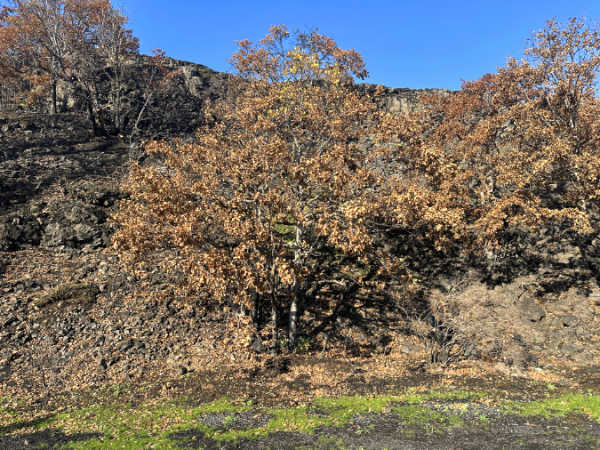
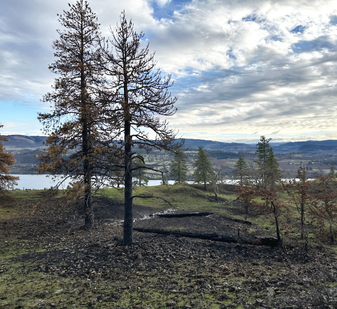
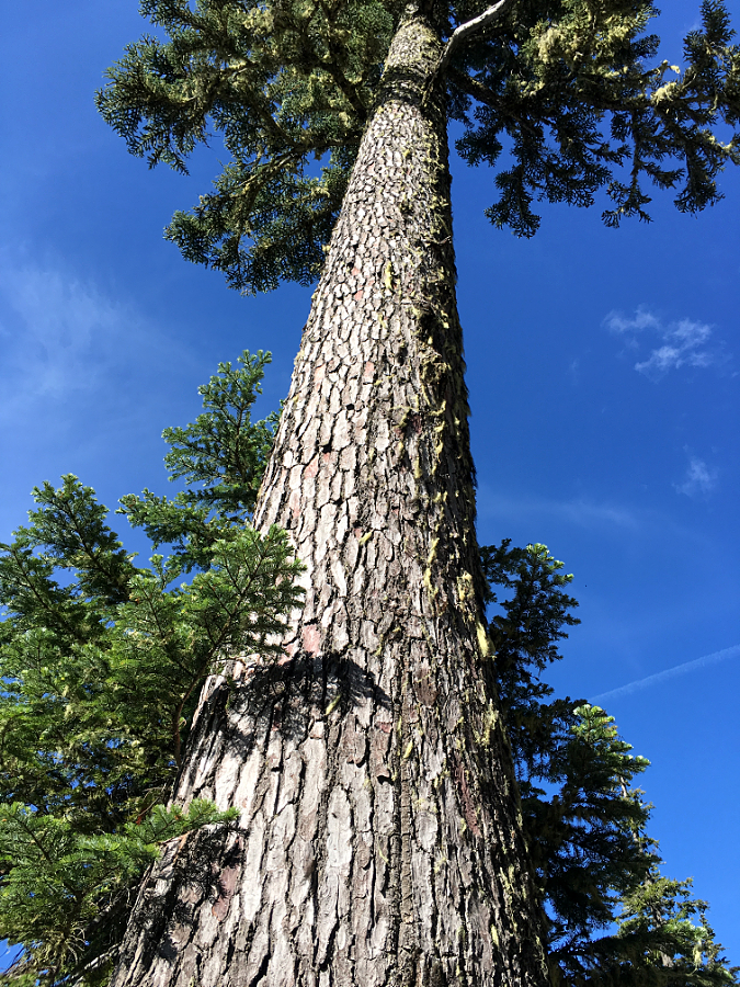
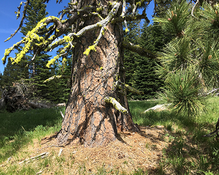
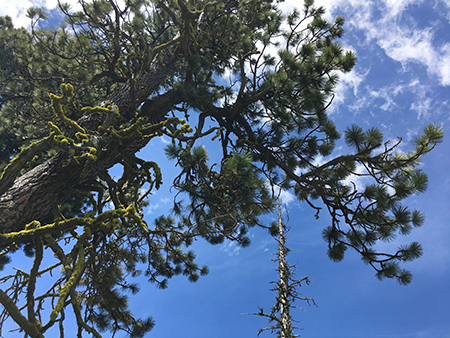
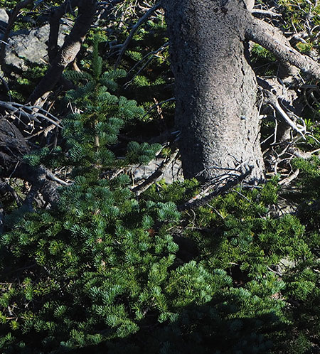
The most unexpected part of the recovery at West Catherine Creek (to me) is the resilience of the Oregon white oak groves and Ponderosa pine sprinkled across the savannah. Their future looked grim when I visited last winter, after the back-to-back fires, but now there are signs of life on even the most badly burned trees.
A sampling of some of some of the more remarkable survivors follows, some marked with inset boxes for subsequent photos that provide greater detail…
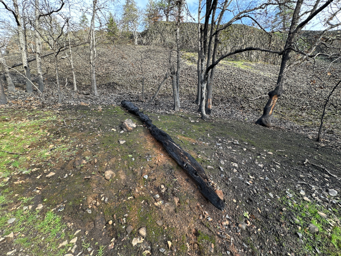
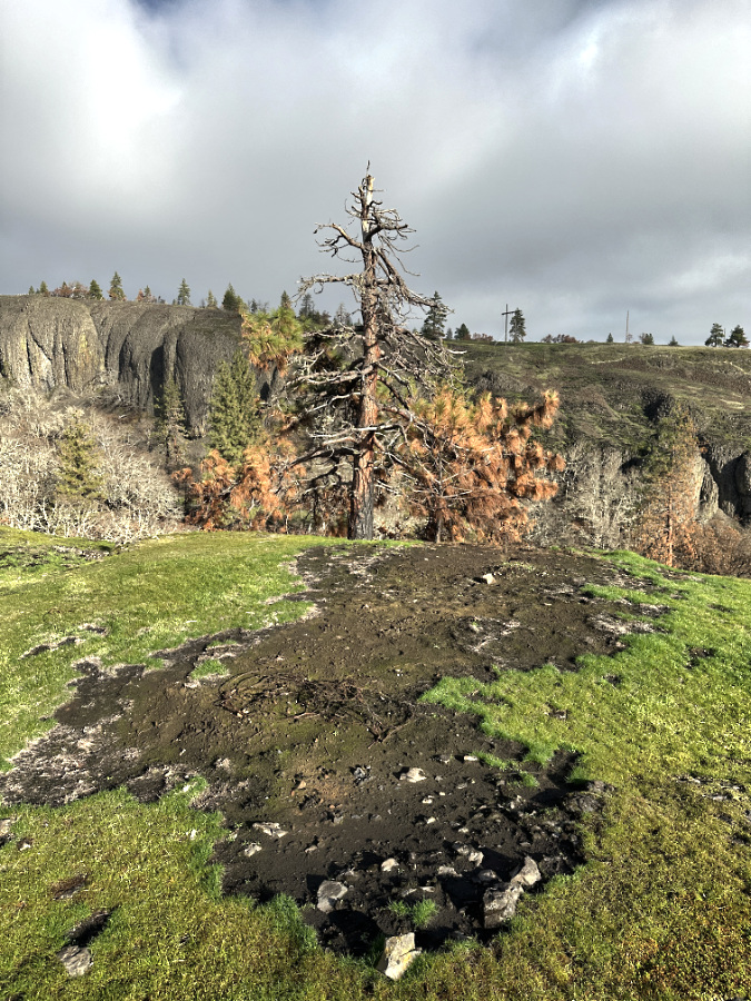
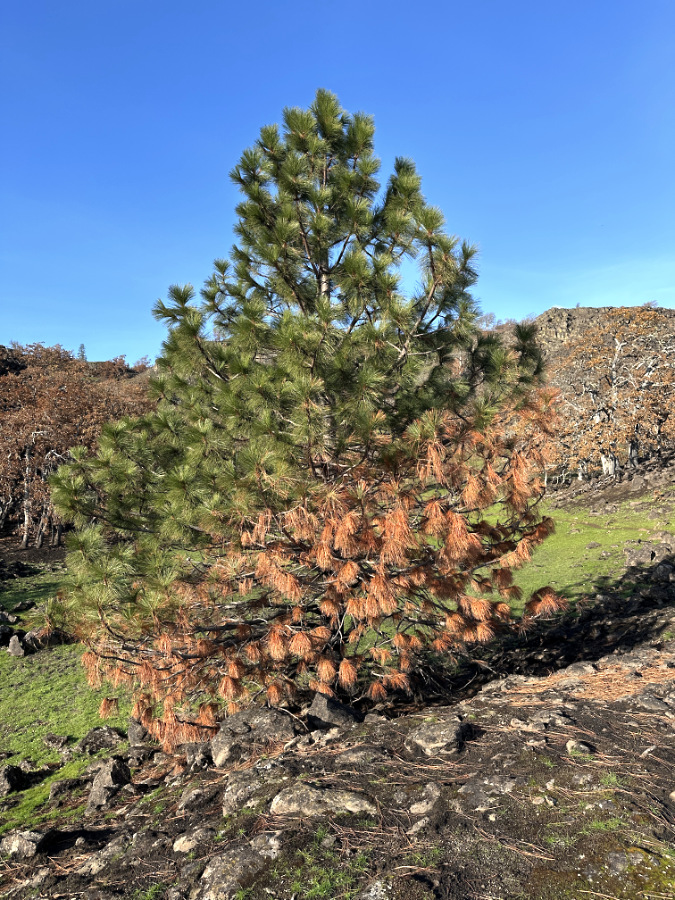
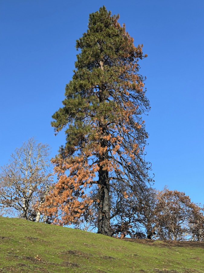
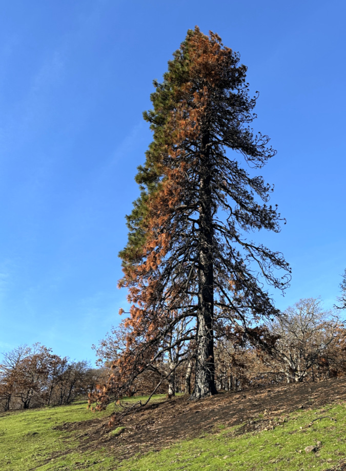
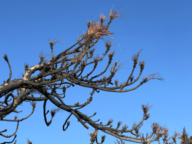
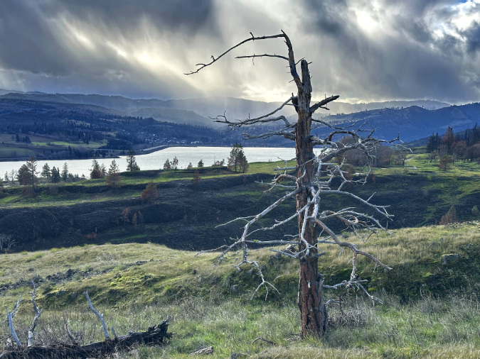
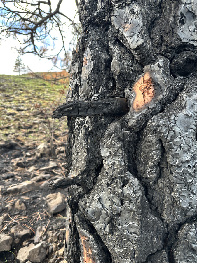
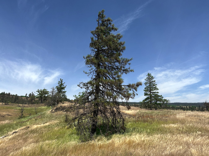
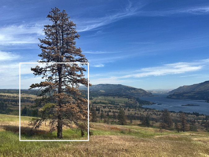
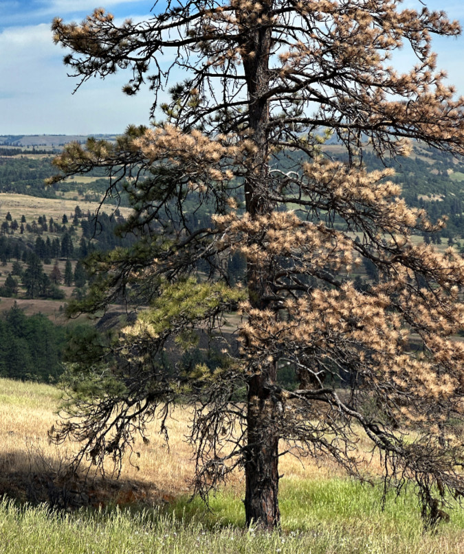
Somehow, this torched old Ponderosa on the west Catherine Creek rim is still hanging on – or, at least part of it is…
A closer look at the surviving limbs. Will these be enough to save the tree? Quite possibly, as there are many gnarled examples of trees just like this across the Catherine Creek savannah
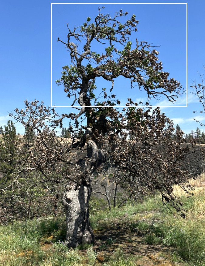
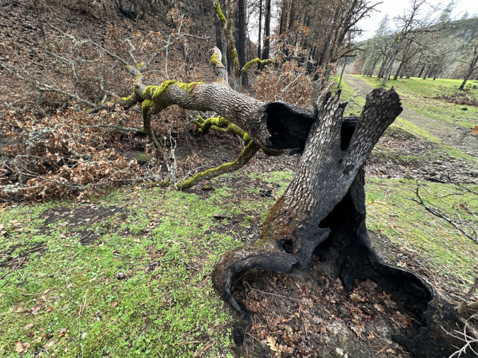
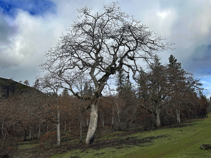
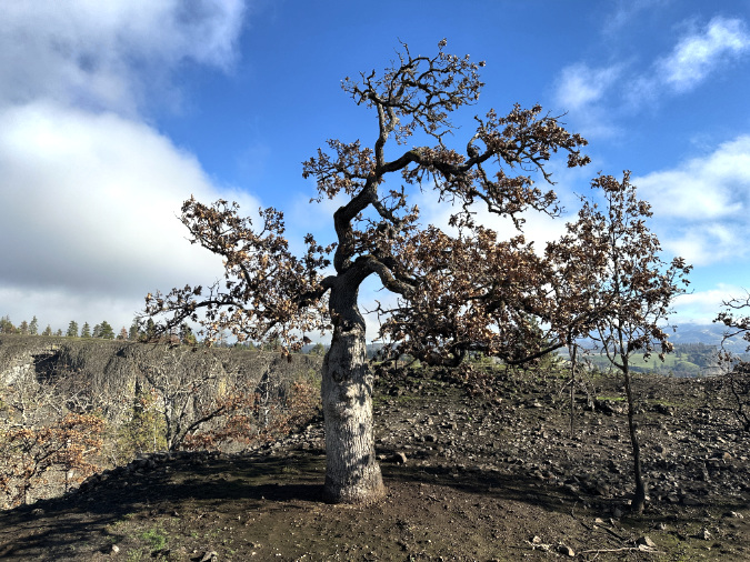
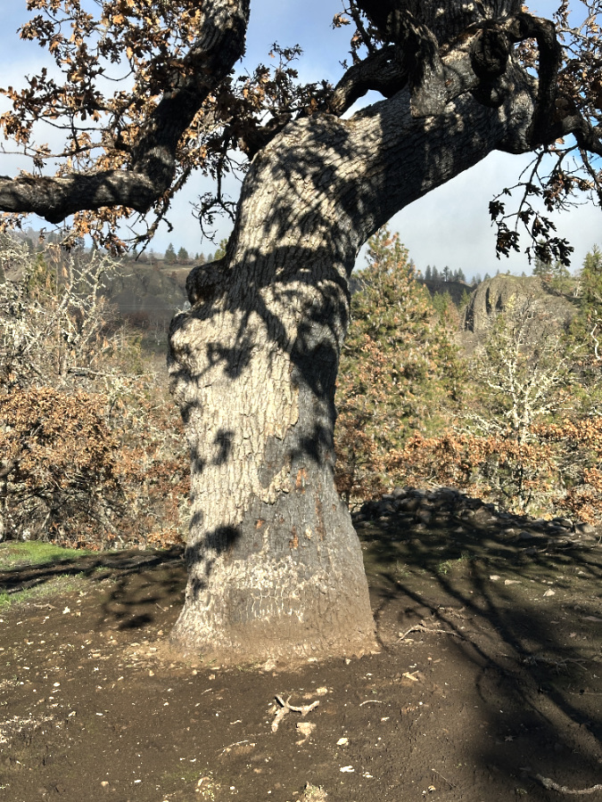
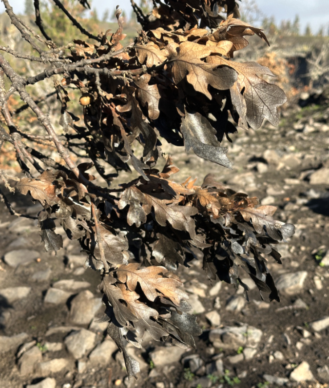
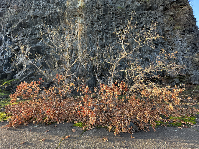
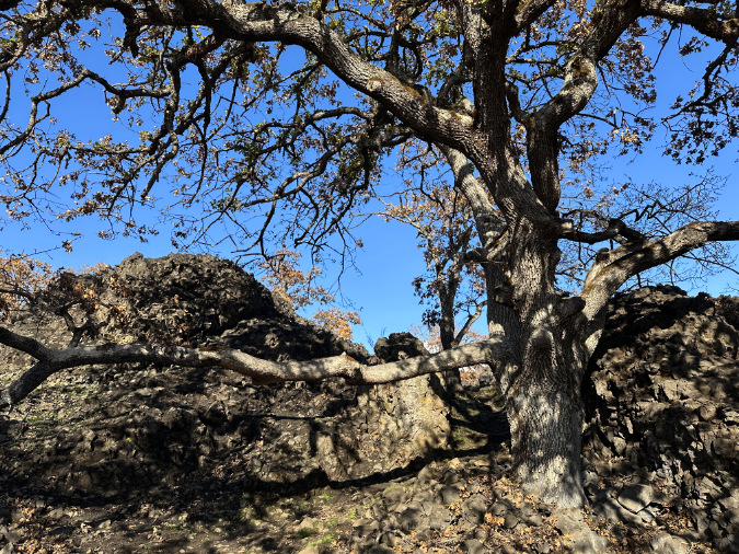
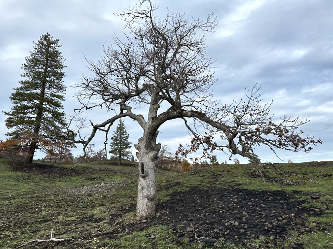
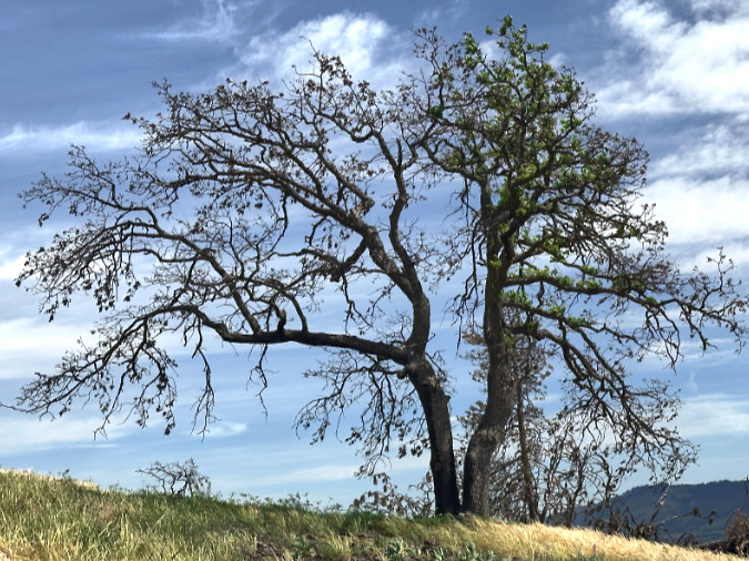
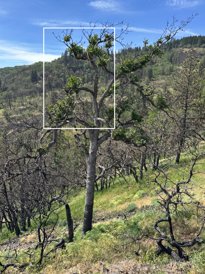
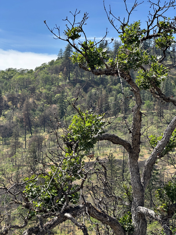
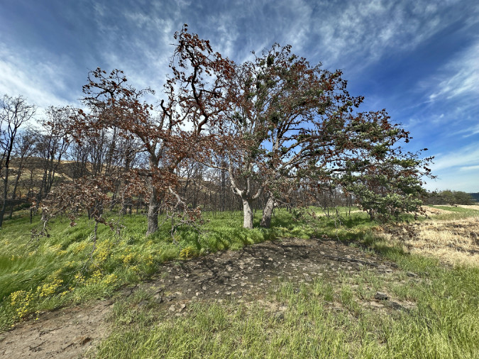
This future of this ancient Oregon white oak looked grim last winter…
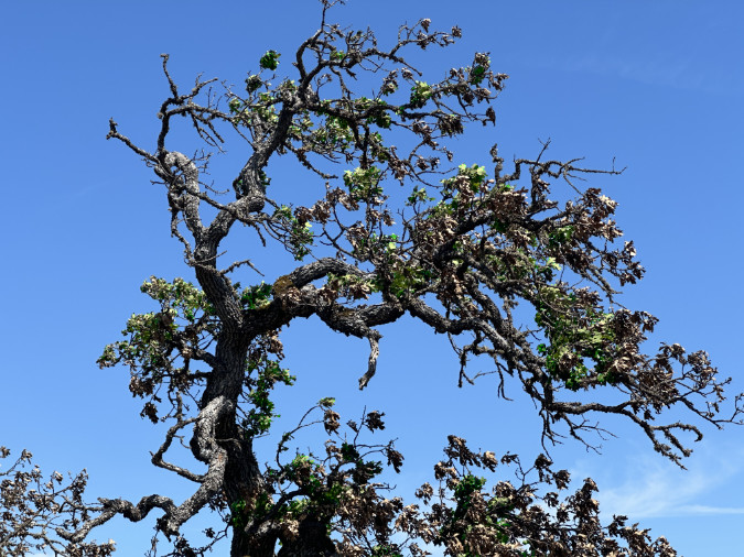
…but a closer look this spring shows lots of new growth emerging from its scorched limbs. This tree has a very good chance of surviving.
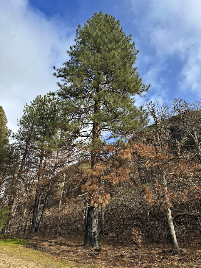
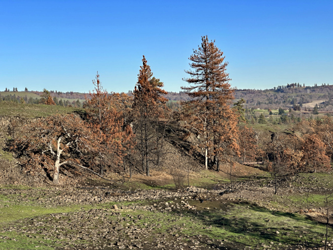
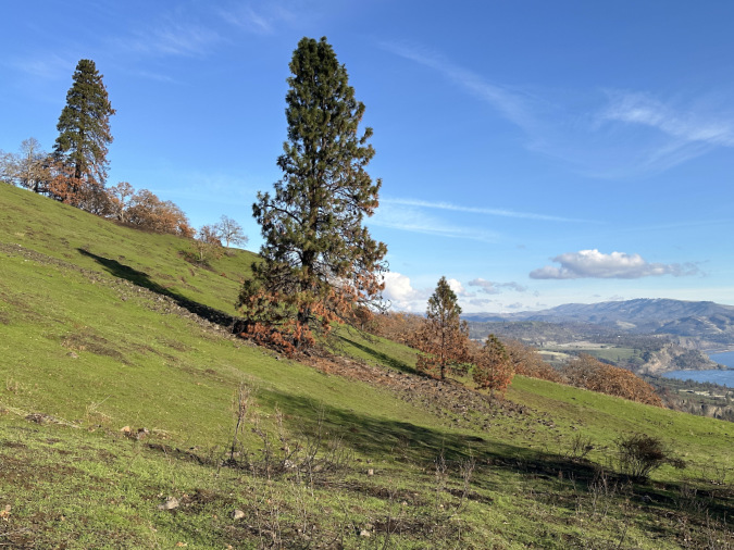
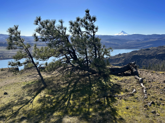
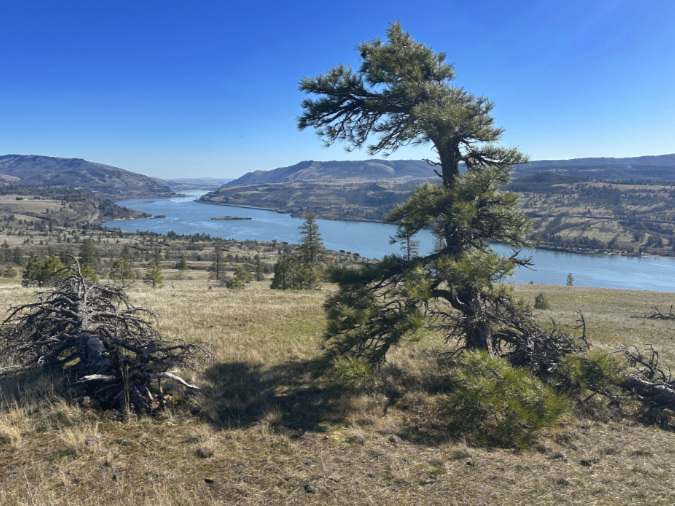
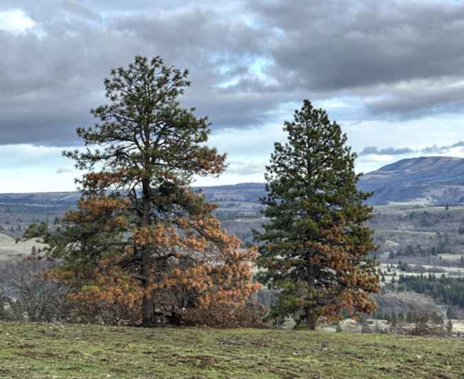
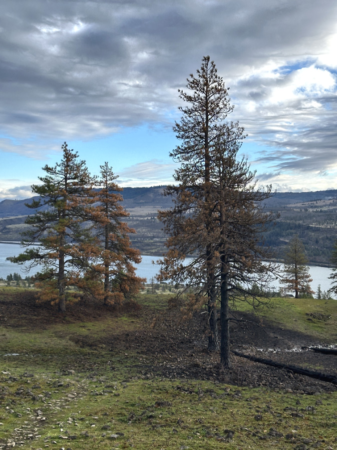
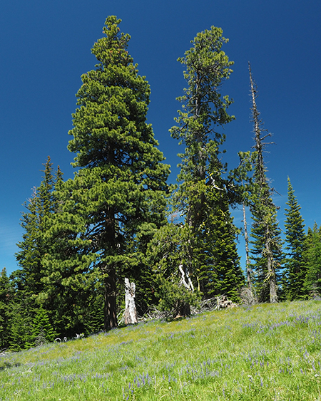
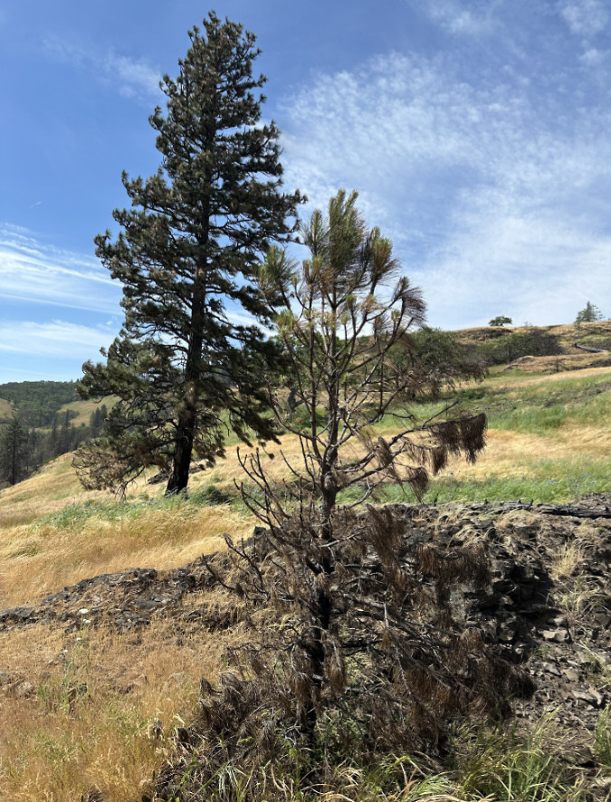
This trio of Ponderosa in the heart of the West Catherine Creek savannah fared especially well, possibly because of more abundant ground water (as indicated by the still-green grasses and wildflowers) they have access to?
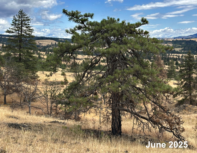
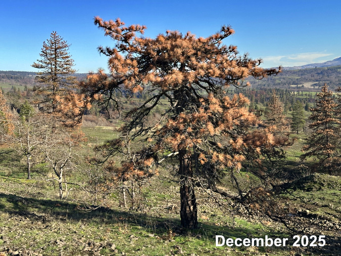
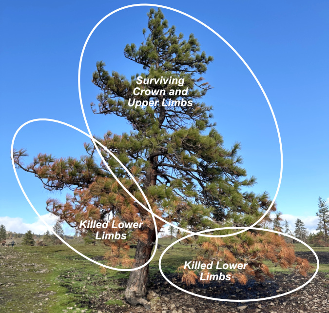
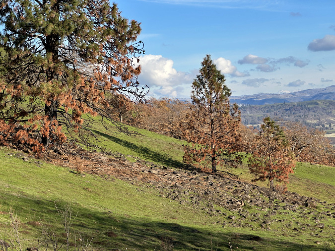
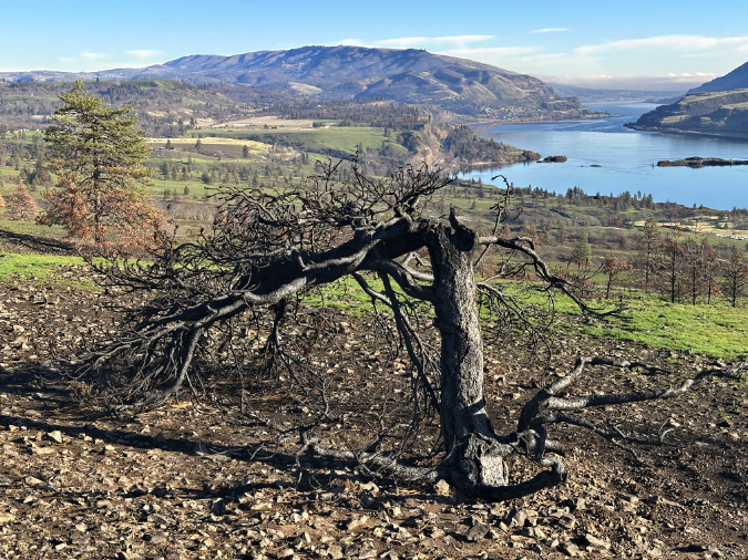
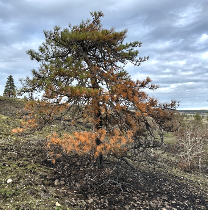
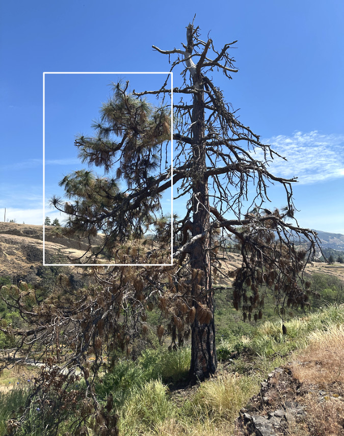
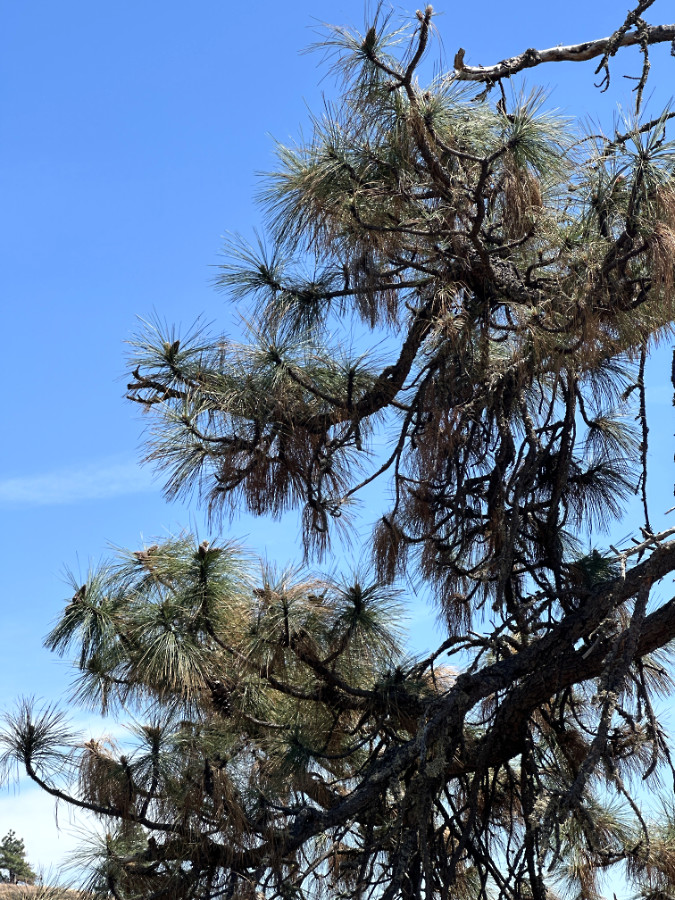
Further upslope, this big Ponderosa didn’t fare as well and seemed a total loss last winter…
…but this closer look shows some living limbs near the base of the tree. If it does survive, this tree is one its way to becoming another gnarled, scrappy survivor in this harsh environment
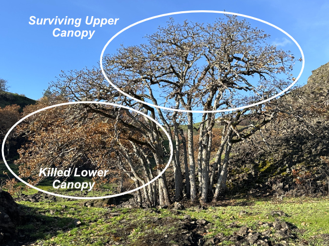
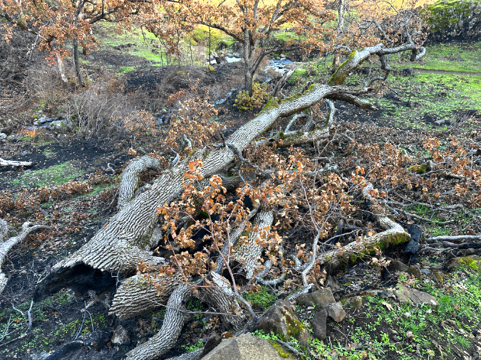
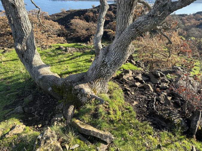
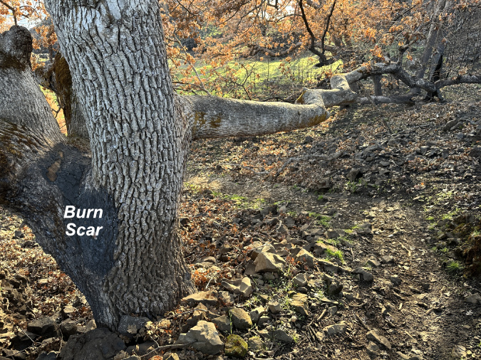
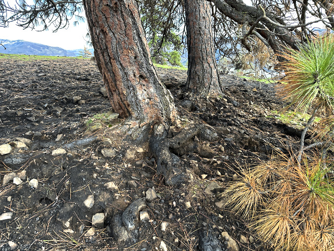
This pair of large oaks along the Rowland Wall show just how seemingly random the impact of a wildfire can be. The tree on the left didn’t make it, but why did its twin just a few inches away survive? In the end, the surviving tree now has less competition for groundwater and soil nutrients – including those that will someday come from its decaying twin – an ecosystem benefit that favors the stranger, surviving oak
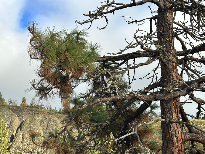
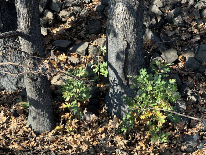
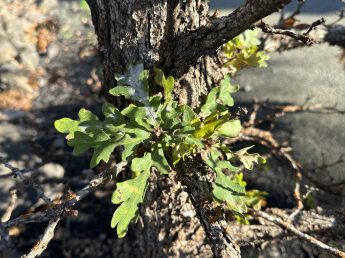
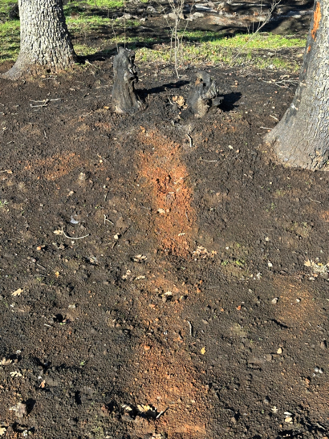
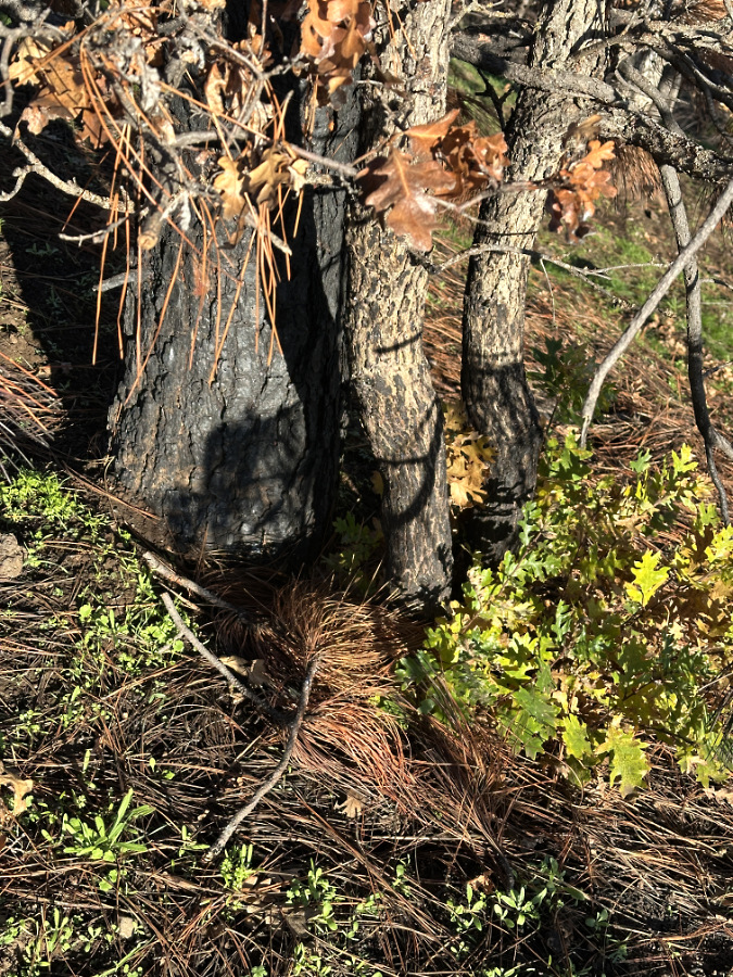
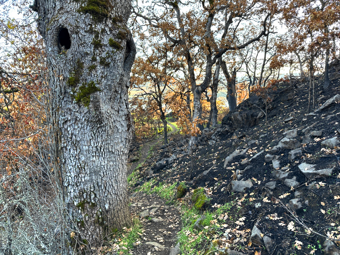
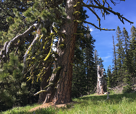
Throughout the oak stands below the Rowland Walls, what looks like mistletoe….
…but are really explosions of new shoots and foliage from larger, living limbs that survived the fire
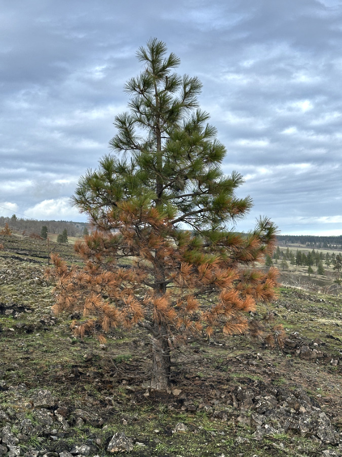
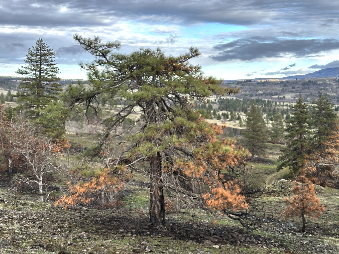
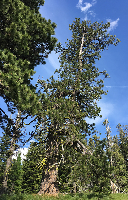
The young Ponderosa in the foreground has beat the odds so far, somehow surviving the fire. Its presumptive parent (in the background) was only lightly affected by the burn, and will benefit by shedding its scorched lower limbs, making it less vulnerable to future burns
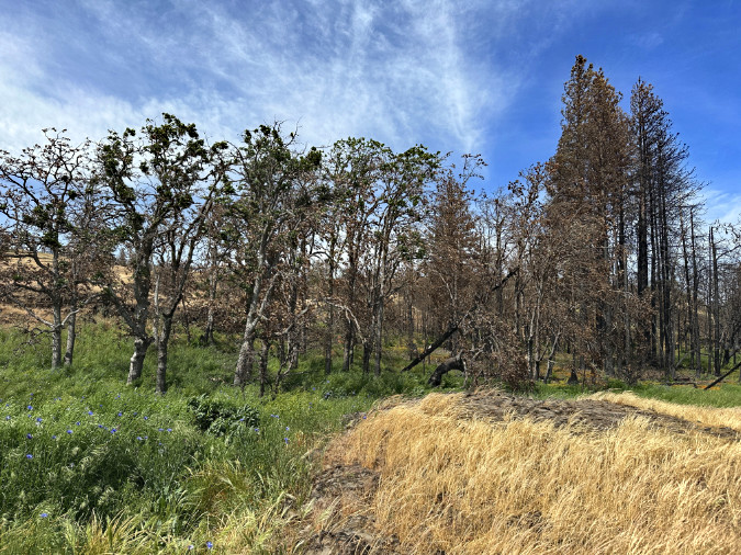
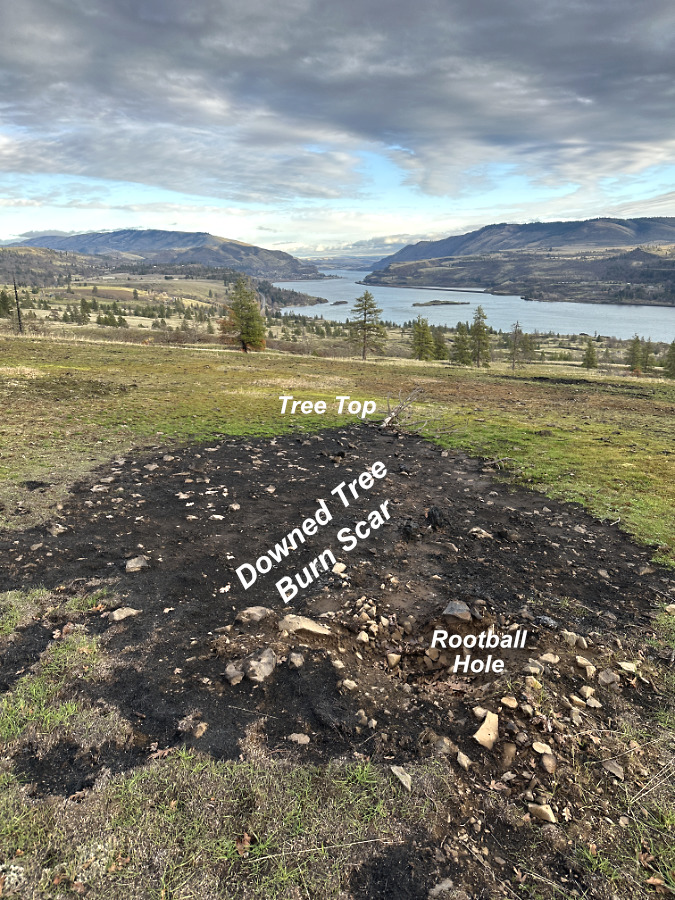
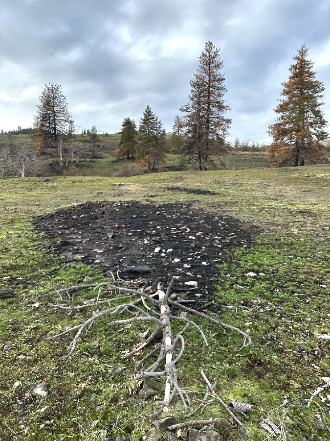
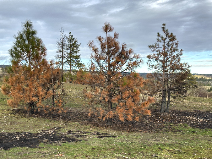
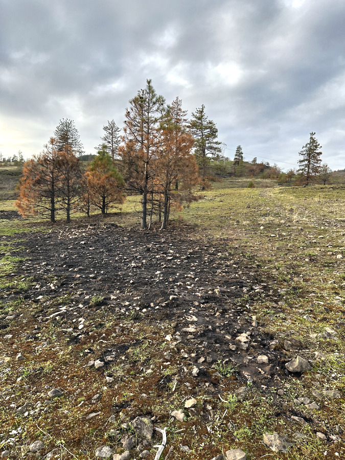
On my winter visit, I had written off this entire stand of crowded young oaks and pines. While the thicket of young Ponderosa on the right was, indeed, completely killed, roughly half the oaks in the grove on the left are making a surprising recovery
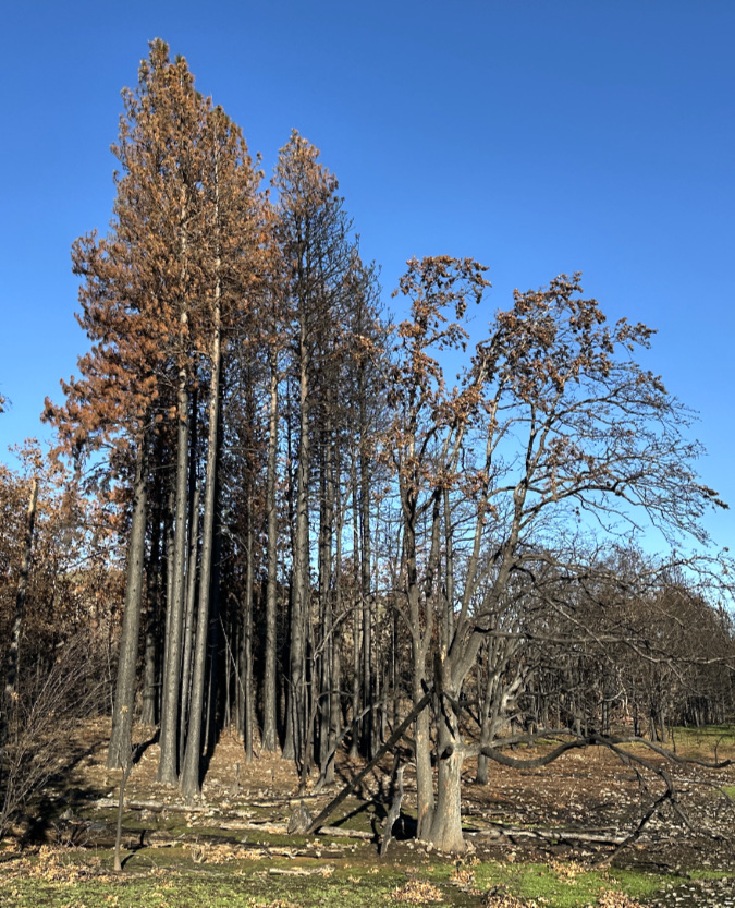
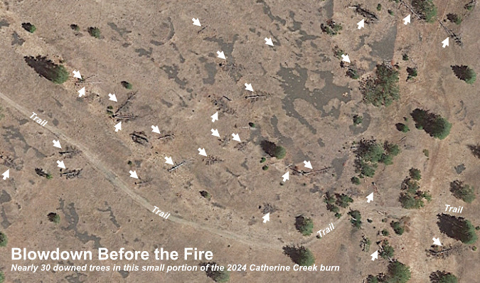
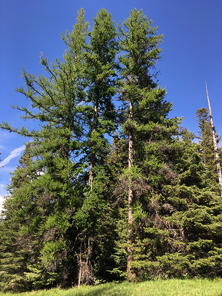
This stand of Ponderosa in the upper meadow was a focus of previous articles on both the 2024 and 2025 fires, as both burned very hot and long under these trees due to heavy accumulation of downed trees and brush. Of the seven trees shown, three (numbered) seem likely to survive, with new growth emerging this spring. This stand is another good example of the benefits of fire to the surviving trees – both in reducing competition for water and soil nutrients, but also by raising their canopy ahead of the next fire, as all three surviving trees lost lower limbs to the burn
Favorites and old friends…
I’ve mostly kept this series focused on ecosystem recovery and the health of the savannah, but it’s no secret that most who go there each year are seeking more than science. The beauty and uniqueness of the landscape is breathtaking, as are the ancient, gnarled oaks and pines that grow here. They become old friends to us.
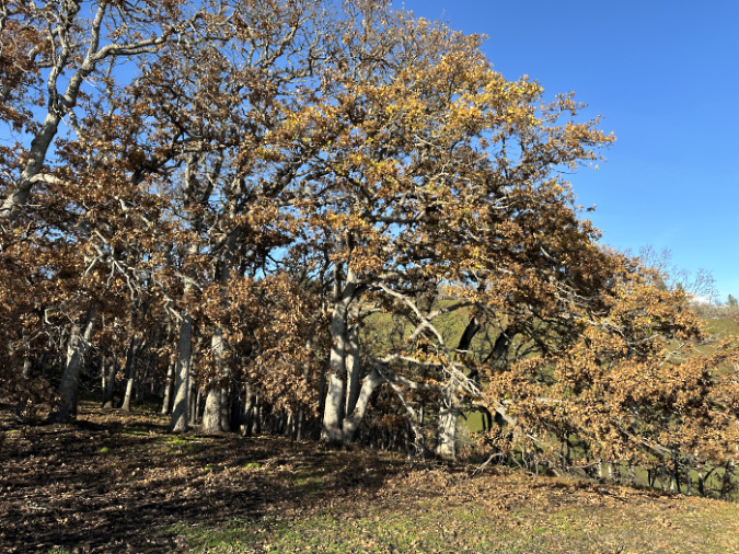
In that spirit, I’ll finish with updates on a few of these places in the West Catherine Creek area and the old friends who grow there. First, the good news: for those who love the Catherine Creek canyon, the fire was both beneficial — clearing accumulated brush and downfall and thinning thickets of young trees — while visually minimal. The shelter provided the cliffs and the relatively moist soils along the creek appears to have helped most of the oak groves and scattered Ponderosa pine on the canyon floor survive – and now thrive.
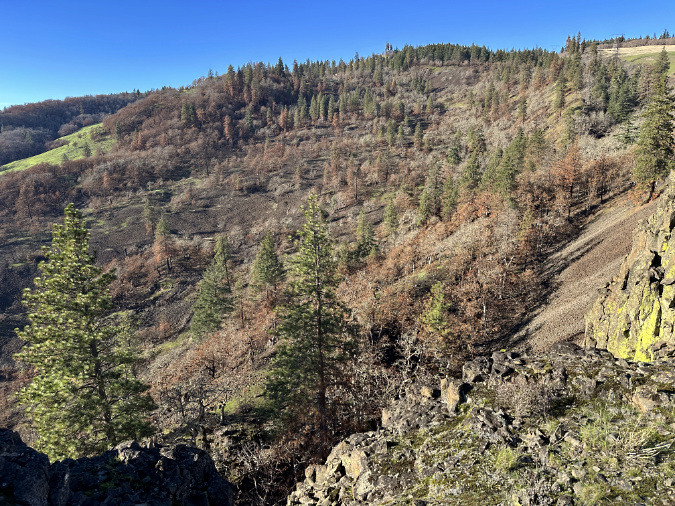
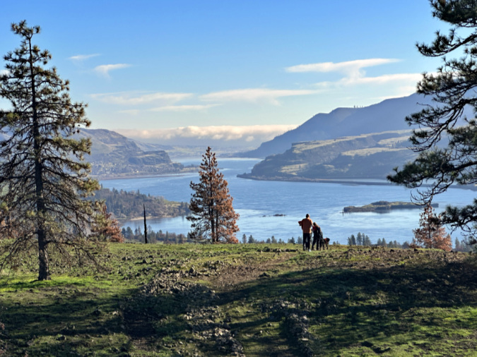
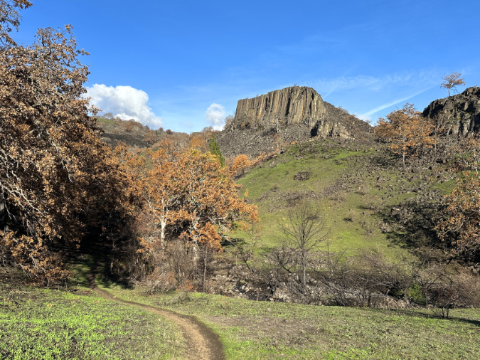
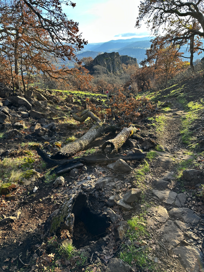
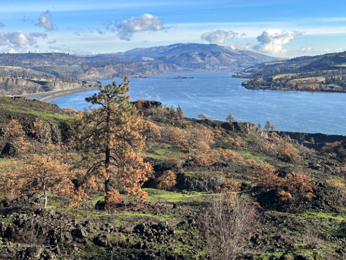
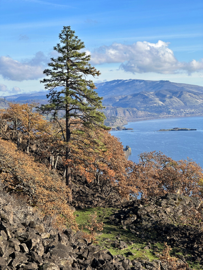
The following views into the Catherine Creek canyon from the west rim tell the story…
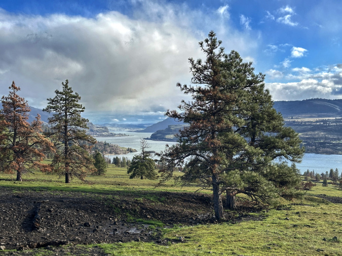
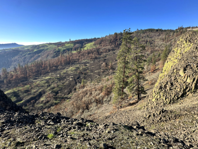
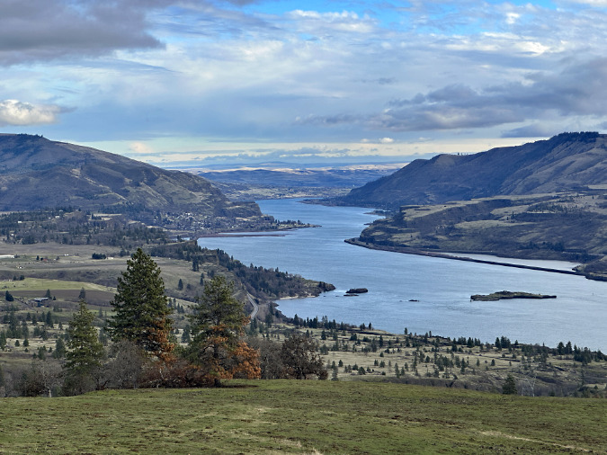
Looking across the Catherine Creek canyon from the west shows an oak and pine forest that has largely survived in the relatively moist, wind-protected confines. The trees in the less intensely burned savannah on the far side of the canyon also seems to be largely recovering after the fire
A few trees above the Catherine Creek Arch were lost to the fire, but most of the groves within the protected cultural area near the arch seem to be recovering
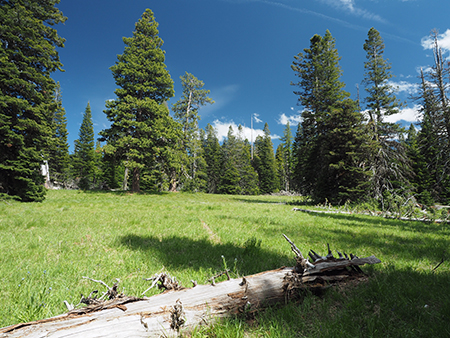
At the lower end of West Catherine Creek, a trio of big oaks tower above a familiar seasonal pond surrounded by spring wildflowers (below). It’s a favorite, much-photographed spot along the trail, and one of the most picturesque scenes in East Gorge. Two of the oaks here survived, though the smallest oak in the trio did not.
Last winter, it was unclear if any of these trees would survive, but the surviving pair on the right appear to have been just large enough to make it through the fire. Both show a lot of new growth, and stand a very good chance of living on to thrill visitors for years to come. Their younger sibling on the left does not seem to have survived, however.
The “Oak Trio” grove at the (already dry in this view) west pond is now the “Oak Duo”, with the younger tree on the left losing the battle to the fire. The twin siblings on the right are thriving in their recovery.
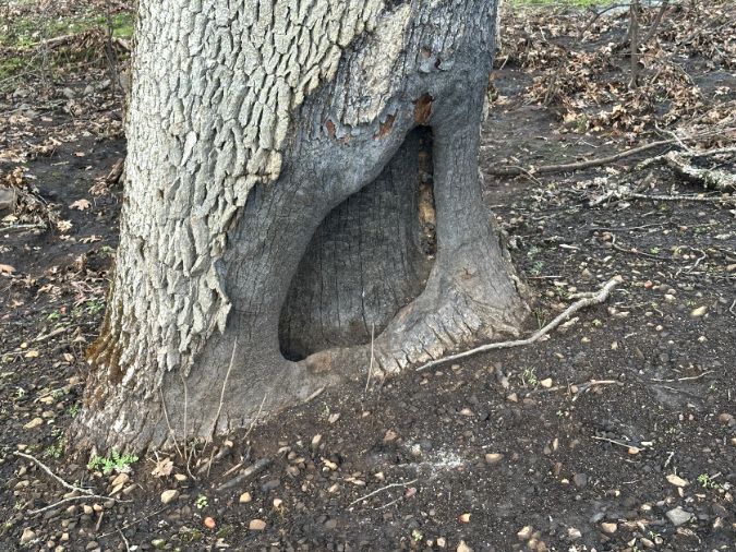
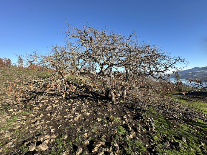
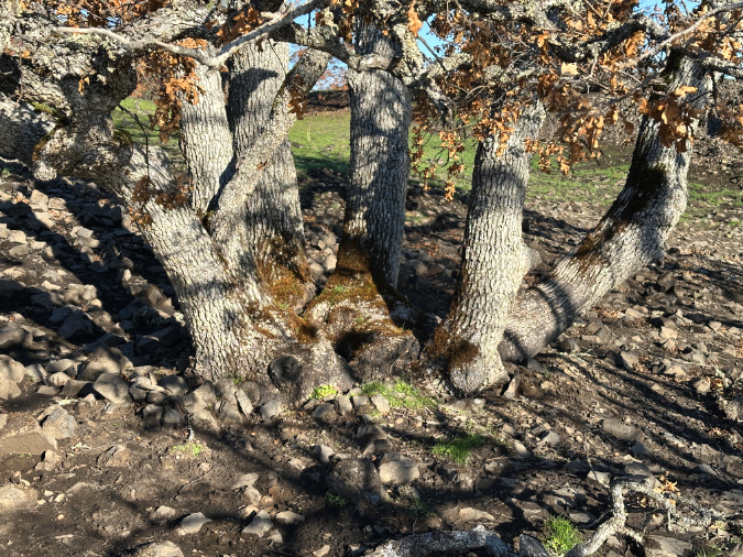
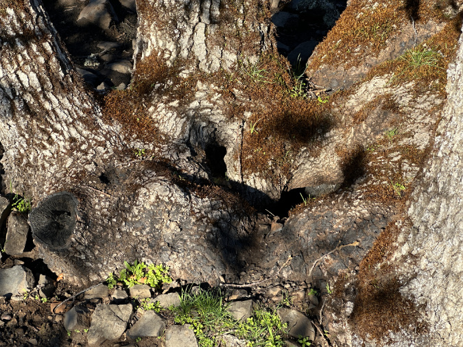
In a previous article, I profiled this picturesque “grove” of oaks (below) that turns out to be a single tree. Its original trunk now just a hollow in the middle marking a fire or lightning event from long ago, replaced by a circle of shoots that have become trunk-sized. This is among my sentimental favorites for its uniqueness, and thus a welcome sight to see it bouncing back strongly after two successive wildfires.
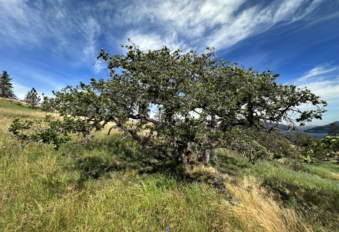
The sprawling old oak that decided to become its own grove is alive and well at West Catherine Creek
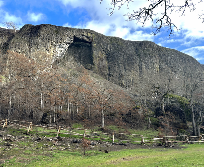
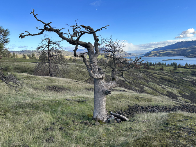
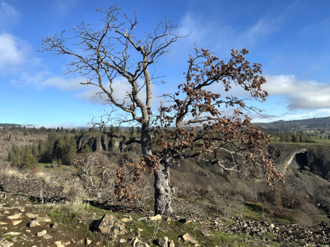
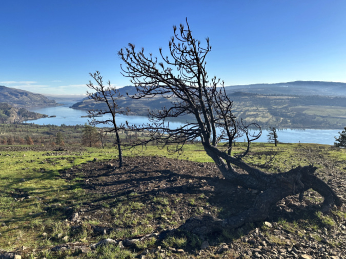
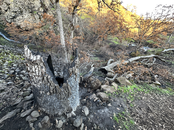
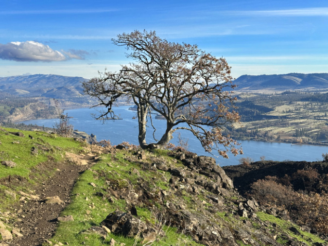
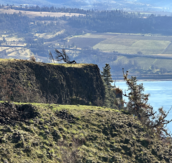
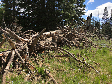
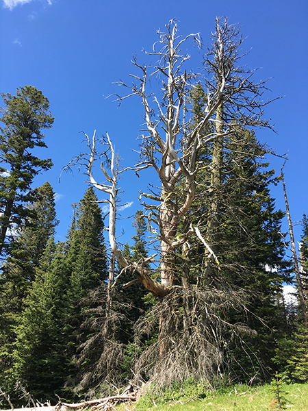
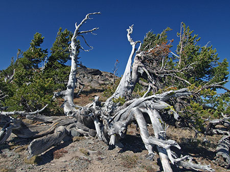
Finally, there is the impossibly contorted old oak creeping along the exposed rim of Rowland Wall (below). The winds from the west were especially powerful the day I was there, providing some insight into why this tough old tree is only a few feet tall (though nearly twenty feet long!) Both fires somehow missed this rocky outcrop completely.
Had the fire burned here, I’m certain this old tree would have been killed, as its low limbs have no chance of reaching above even a modest brushfire and much of its trunk is deadwood, just waiting to become fuel.
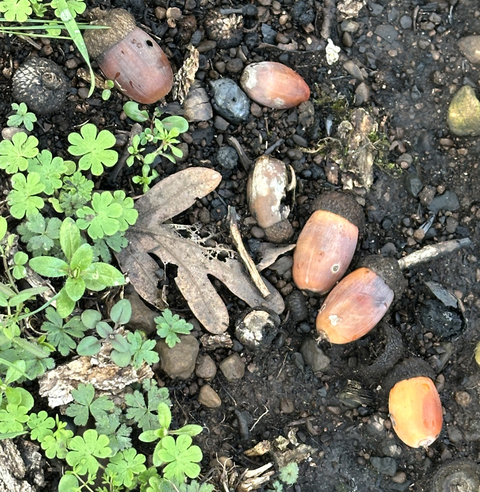
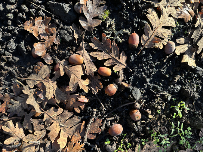
This ancient, battered oak dodged the back-to-back fires to live another season and produce another cycle of acorns
Instead, this old sentinel has survived to live for a few more years and produce acorns. A few of its seeds might even go unnoticed by local ground squirrels and take root, someday replacing this old tree and completing the cycle – that’s the science of this ecosystem. But my sentimental side hopes this spectacular old tree outlives me by many decades.
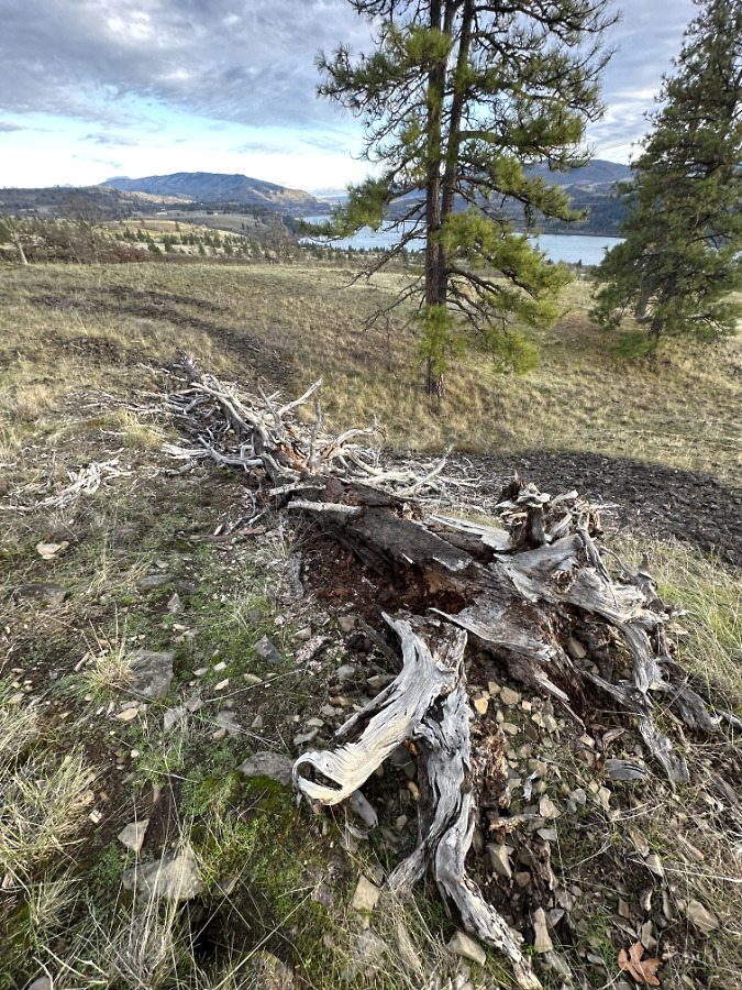
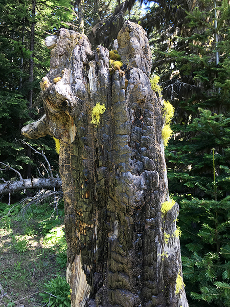
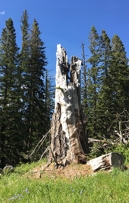
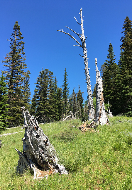
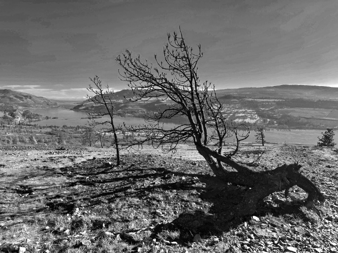
More driftwood than tree, the old oak atop Rowland Wall is the living embodiment of the extreme conditions here
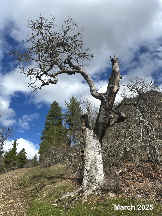
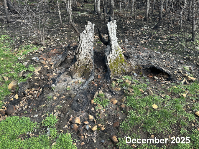
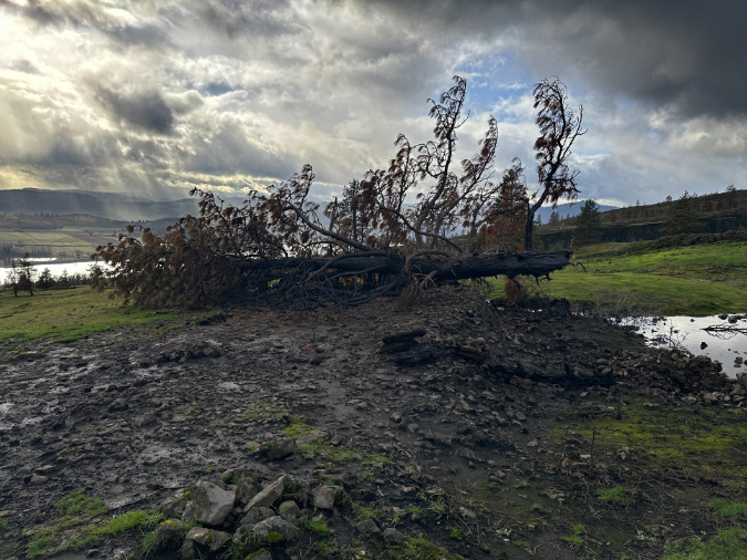
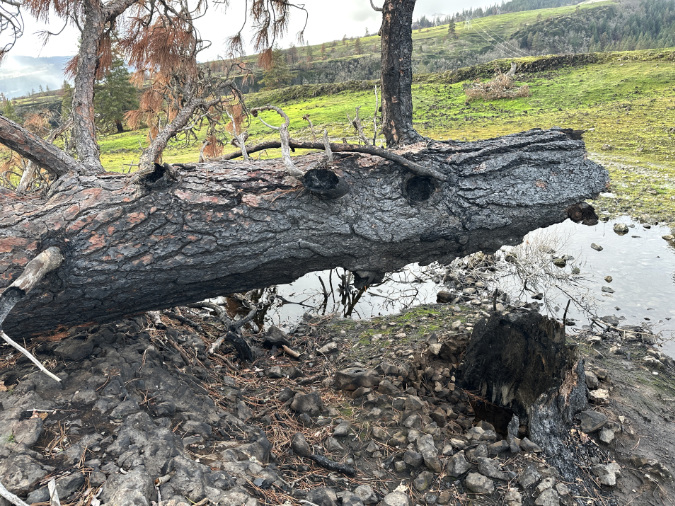
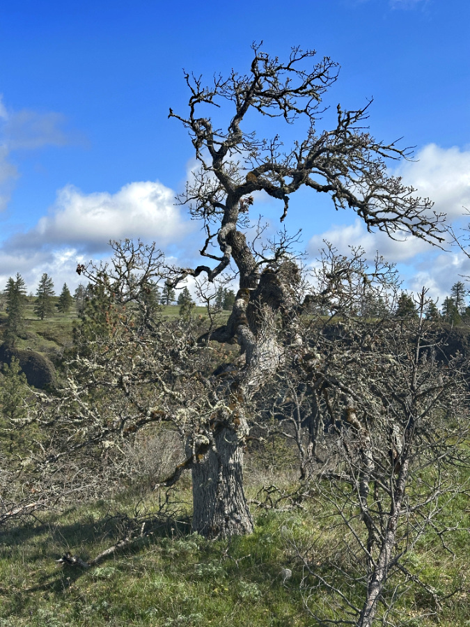
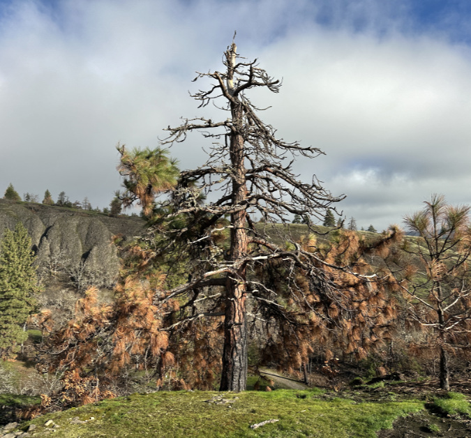
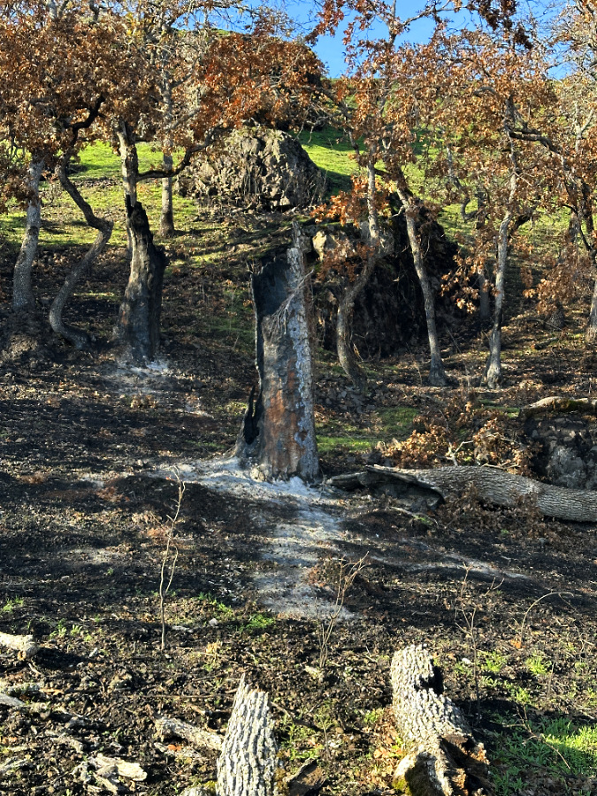
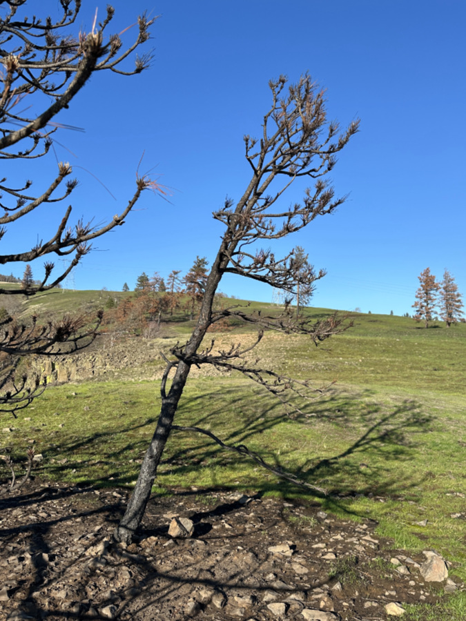
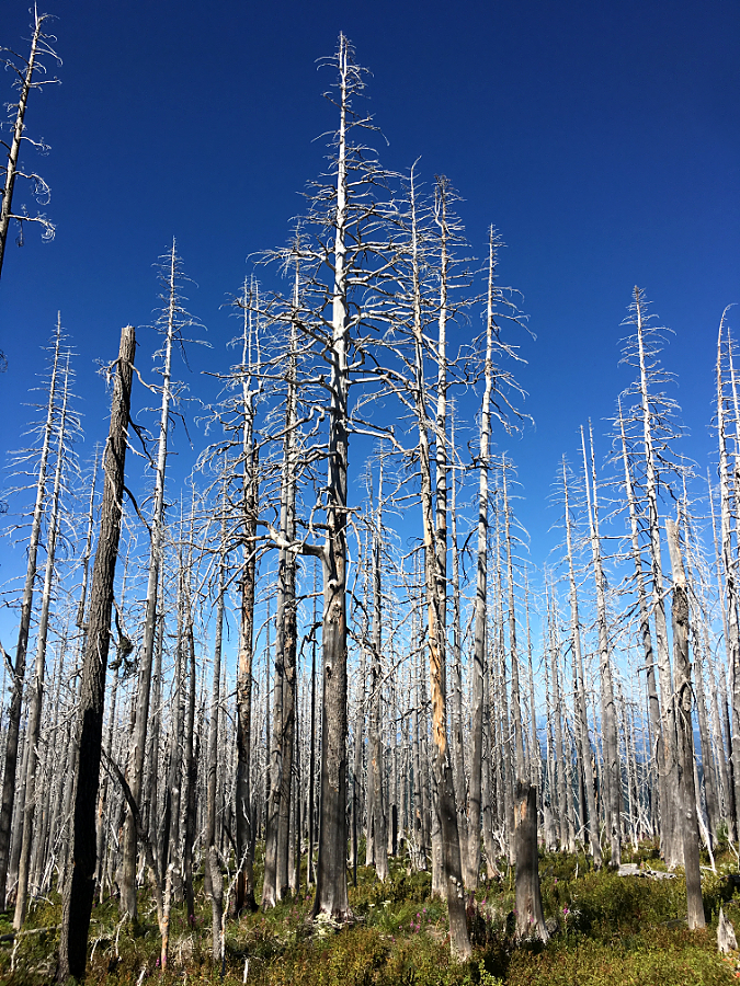
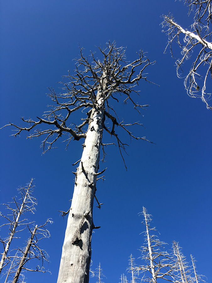
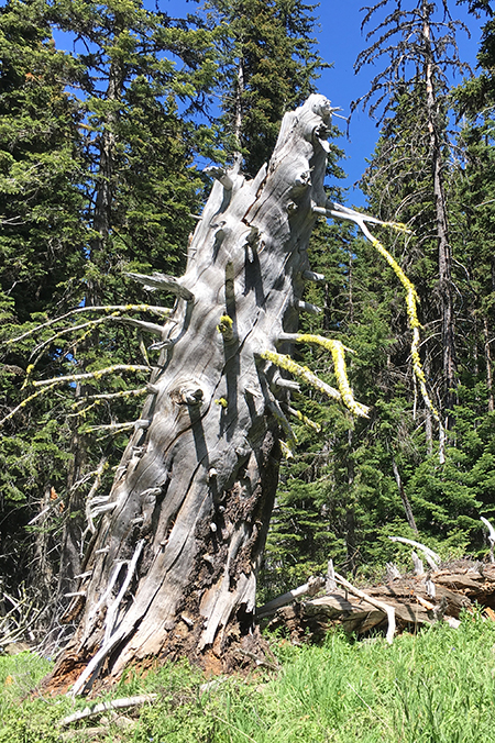
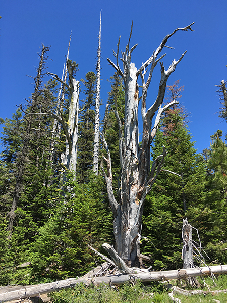
As hard as it has been to watch old survivors in the Catherine Creek savannah finally lose their battle to live over the course of these fires, it was losing an equally tortured old pine [add the link here] (below) just a few hundred yards up the ridge from the ancient oak that caused me to rethink my appreciation for these old trees. It was the realization that human fire suppression had artificially extended the longevity of these tree for our aesthetic benefit, yet undermined the very health of the ecosystem they exist solely to perpetuate – for their benefit.
Thus, where my mindset before the fires was to greet these old friends as museum pieces and romantic testaments to their instinct to survive, I’m now attempting to reverse that expectation.
On this trip, I made a point of appreciating the gnarled, surviving old oak at Rowland Wall for both its tenacity and good luck, and the privilege of learning a bit more each time I visit — about the forces that continue to shape it, and the forces within this oak that have enabled it to endure seemingly impossible odds. And if this old oak suddenly joins its Ponderosa neighbor to become another bleached skeleton on my next visit? Well, then there will be new lessons to learn as it slowly fades into the savannah grassland.
I avoided looking at this old Ponderosa on my first visit after it was killed by the Burdoin Fire. Now, I’m learning to appreciate it for the story it will tell for decades to come as the bleached reminder of a tree that once figured out how to survive in this impossible spot atop Rowland Wall
All of this sounds easy enough, but letting go of old ways is never easy. It’s a new mindset of embracing a present that I deeply treasure as simply a fleeting part of the continuum, as opposed to something to be preserved, often against its own nature. Fire-deprived landscapes in the East Gorge are our invention, after all.
Therefore, part of the journey for all of us in restoring fire to this landscape requires adjusting our sentimental side to a new sense of what constitutes “beauty” – and to nudge my own sensibilities in that direction, I’ve added a new category to the article tags in the blog to include “ghost trees”. Watch for more of those in the future!
As always, thanks for reading this far – and I hope to see you on the trail, sometime!
________________
Previous articles on the Burdoin Fire aftermath:
• Secrets of the Fire at Catherine Creek (Feb 14, 2025)
• Goodbye to an old friend… or is it? (Jan 1, 2026)
• The Burdoin Fire – Part 1: Resiliency (Feb 2, 2026
• The Burdoin Fire – Part 2: Fragility (Feb 17, 2026)
• The Burdoin Fire – Part 3: Sustainability (Mar 6, 2026)
________________
Tom Kloster | June 2026